Transport Functions
Multimodal
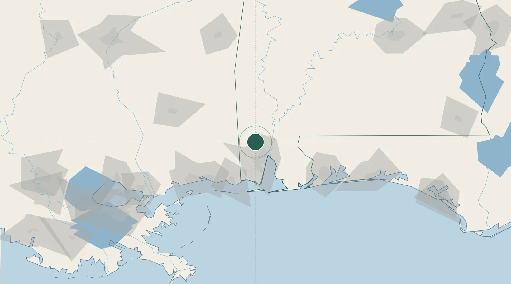
Hub Profile
Place type
Populated place
Region
Alabama
Population
210
Time zone
America/Chicago
Elevation
37 m
Location
Nearby Logistics Neighbours
Cities
- 1Semmes17 km
- 2Saraland18 km
- 3Whistler21 km
- 4Chickasaw21 km
- 5Pinto Island33 km
Ports
- 1Mobile27 km
- 2Pascagoula72 km
- 3Biloxi88 km
- 4Gulfport105 km
- 5Pensacola110 km
Airports
Trade Zones
- 1FTZ No. 082 Mobile28 km
- 2FTZ No. 092 Harrison County92 km
- 3FTZ No. 249 Pensacola104 km
- 4FTZ No. 002 New Orleans209 km
- 5FTZ No. 222 Montgomery241 km
DatabookThe Record of Consolidated Knowledge
United States beyond logistics?