UN/LOCODE hub · United States
USFTP
Flatonia
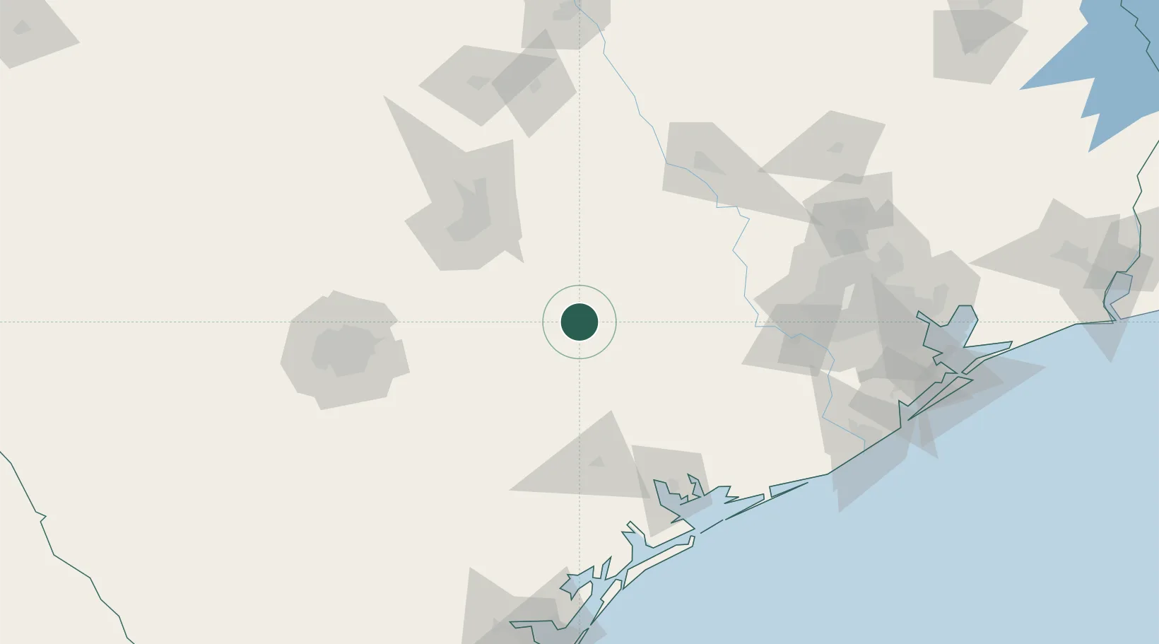
29.6833°, -97.1000°
1,401
Population
3
Transport functions
Transport Functions
Rail
Road
Multimodal
Hub Profile
Place type
Populated place
Region
Texas
Population
1,401
Time zone
America/Chicago
Elevation
139 m
Location
Nearby Logistics Neighbours
Cities
- 1Muldoon13 km
- 2Waelder18 km
- 3Schulenburg19 km
- 4Yoakum45 km
- 5Red Rock46 km
Ports
- 1Port Lavaca128 km
- 2Palacios140 km
- 3Deer Park171 km
- 4Houston176 km
- 5Pasadena182 km
Airports
Trade Zones
- 1FTZ No. 183 Austin89 km
- 2FTZ No. 080 San Antonio165 km
- 3FTZ No. 084 Harris County174 km
- 4FTZ No. 149 Freeport181 km
- 5FTZ No. 171 Liberty County202 km
DatabookThe Record of Consolidated Knowledge
United States beyond logistics?