Transport Functions
Port
Rail
Road
Multimodal
Hub Profile
Place type
Populated place
Region
Texas
Population
997
Time zone
America/Chicago
Elevation
116 m
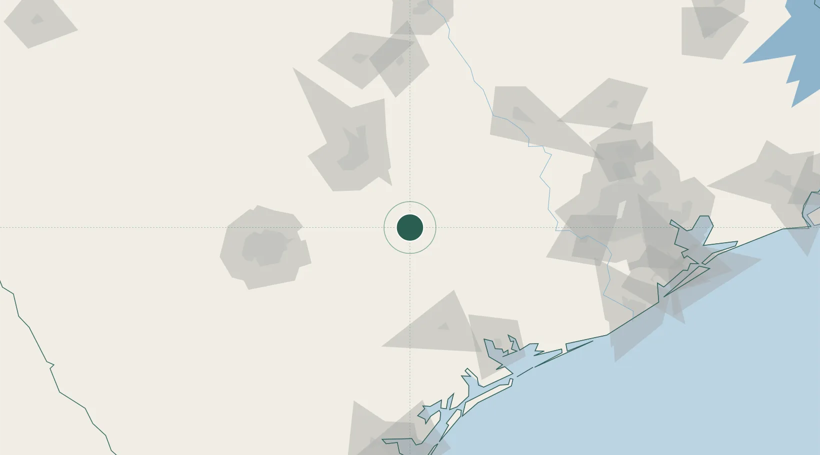
Location
Nearby Logistics Neighbours
Cities
- 1Flatonia18 km
- 2Muldoon25 km
- 3Red Rock35 km
- 4Luling36 km
- 5Schulenburg37 km
Ports
- 1Port Lavaca135 km
- 2Palacios152 km
- 3Rockport187 km
- 4Deer Park189 km
- 5Houston193 km
Airports
Trade Zones
- 1FTZ No. 183 Austin78 km
- 2FTZ No. 080 San Antonio148 km
- 3FTZ No. 084 Harris County191 km
- 4FTZ No. 149 Freeport197 km
- 5FTZ No. 246 Waco208 km
DatabookThe Record of Consolidated Knowledge
United States beyond logistics?