UN/LOCODE hub · United States
USHW4
Hiawatha
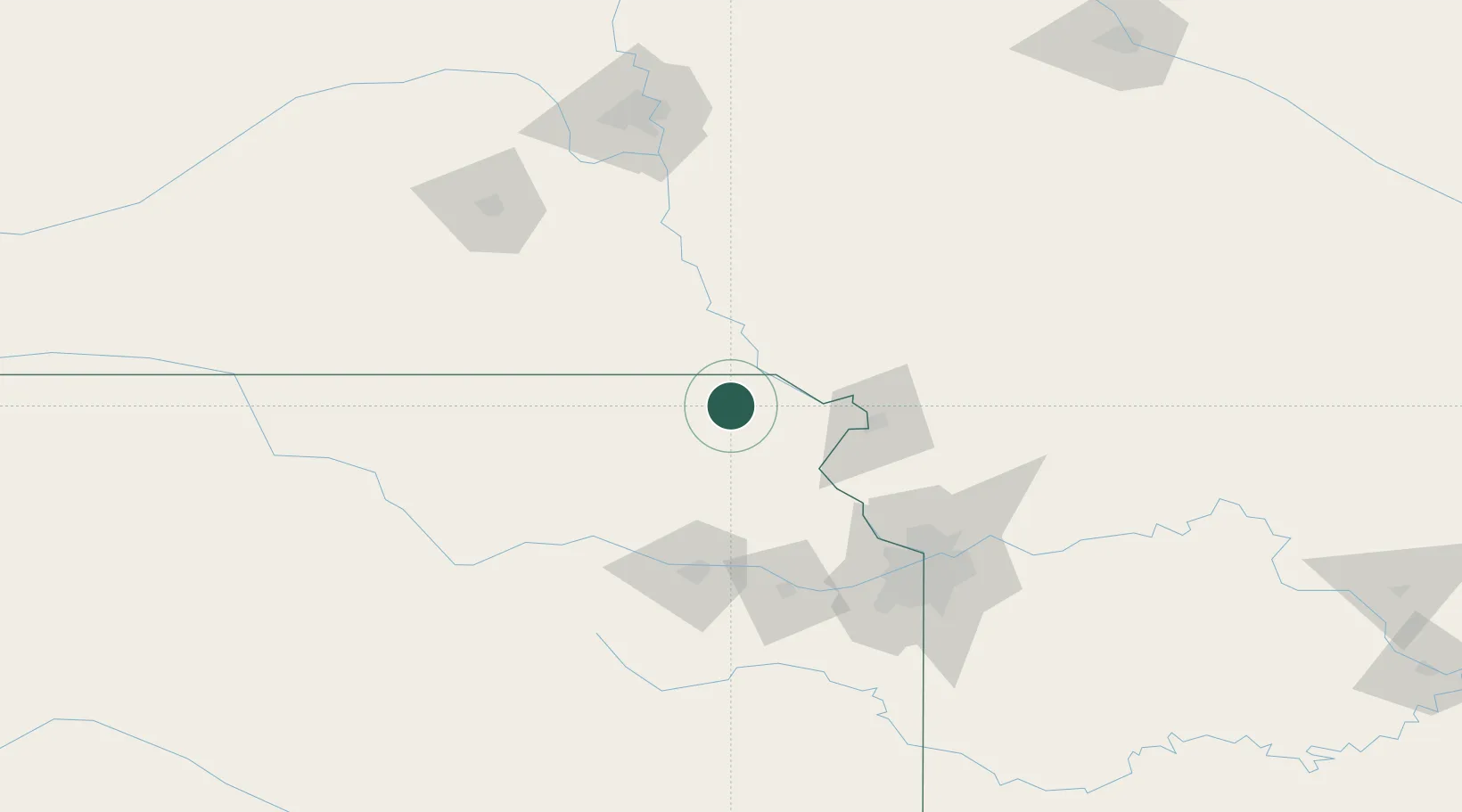
39.8500°, -95.5333°
3,095
Population
2
Transport functions
Transport Functions
Rail
Road
Hub Profile
Place type
Provincial seat
Region
Kansas
Population
3,095
Time zone
America/Chicago
Elevation
345 m
Location
Nearby Logistics Neighbours
Cities
- 1Falls City23 km
- 2Sabetha23 km
- 3Seneca44 km
- 4Holton46 km
- 5Nortonville51 km
Ports
- 1Great Lakes700 km
- 2Wilmette704 km
- 3Chicago704 km
- 4Waukegan704 km
- 5Calumet Harbor706 km
Airports
Trade Zones
- 1FTZ No. 133 Quad-Cities, Iowa Illinois75 km
- 2FTZ No. 017 Kansas City102 km
- 3FTZ No. 015 Kansas City125 km
- 4FTZ No. 059 Lincoln153 km
- 5FTZ No. 107 Polk County254 km
DatabookThe Record of Consolidated Knowledge
United States beyond logistics?