UN/LOCODE hub · United States
USRPF
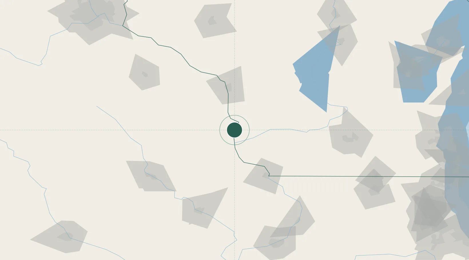
Harpers Ferry
43.2000°, -91.1500°
319
Population
2
Transport functions
Transport Functions
Rail
Road
Hub Profile
Place type
Populated place
Region
Iowa
Population
319
Time zone
America/Chicago
Elevation
198 m
Location
Nearby Logistics Neighbours
Ports
- 1Kaukauna261 km
- 2Milwaukee266 km
- 3Port Washington267 km
- 4Racine279 km
- 5Kenosha280 km
Airports
- 1La Crosse Regional Airport76 km
- 2Dubuque Regional Airport96 km
- 3Volk Field109 km
- 4Northeast Iowa Regional Airport119 km
- 5Waterloo Regional Airport125 km
Trade Zones
- 1FTZ No. 266 Dane County118 km
- 2FTZ No. 271 Jo-Daviess and Carroll Counties123 km
- 3FTZ No. 175 Cedar Rapids147 km
- 4FTZ No. 176 Rockford190 km
- 5FTZ No. 041 Milwaukee247 km
DatabookThe Record of Consolidated Knowledge
United States beyond logistics?