UN/LOCODE hub · United States
USZH3
Hillsboro
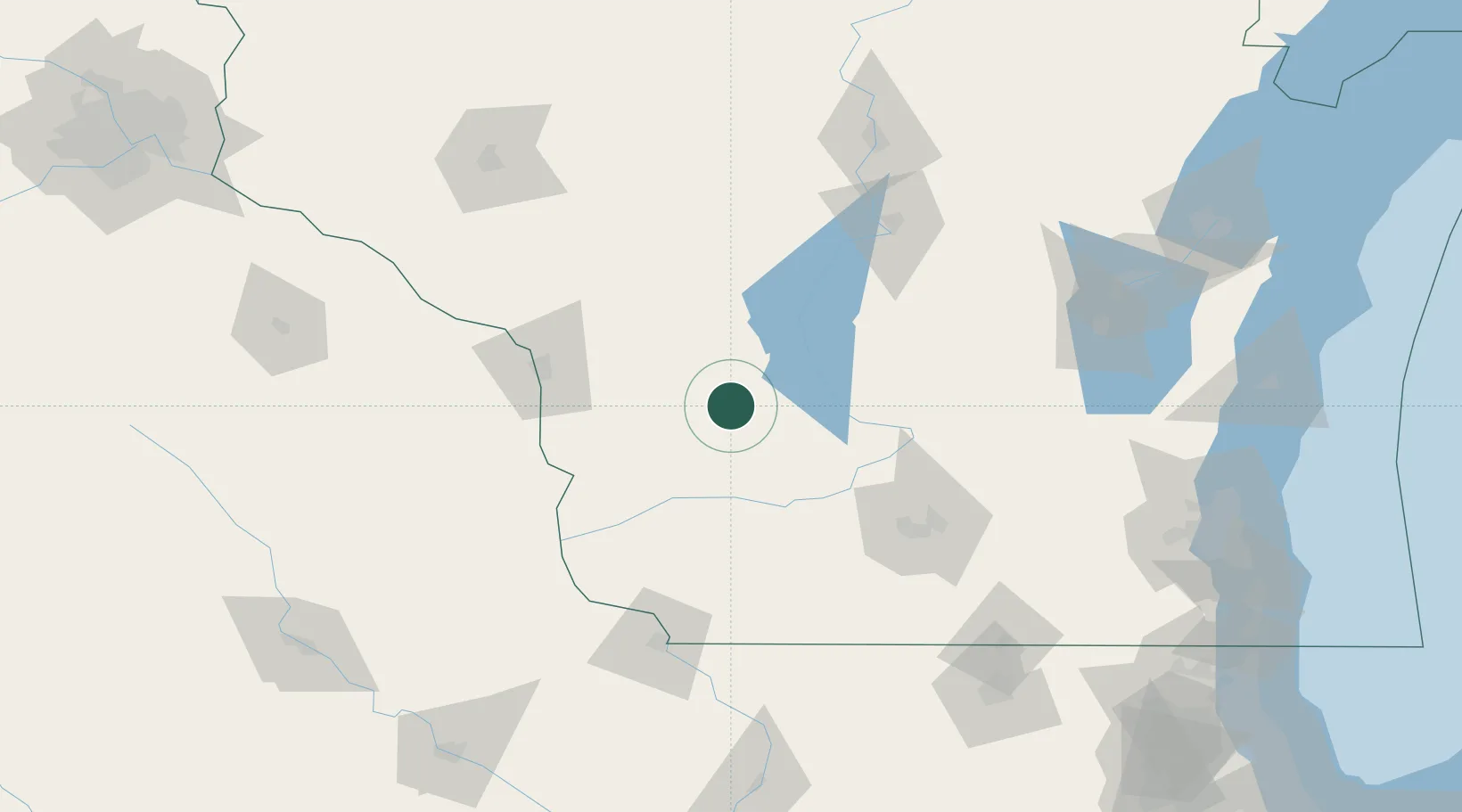
43.6500°, -90.3333°
1,420
Population
1
Transport functions
Transport Functions
Multimodal
Hub Profile
Place type
Populated place
Region
Wisconsin
Population
1,420
Time zone
America/Chicago
Elevation
303 m
Location
Nearby Logistics Neighbours
Cities
- 1Union Center7 km
- 2Wonewoc9 km
- 3Elroy11 km
- 4New Lisbon28 km
- 5Mauston32 km
Ports
- 1Kaukauna180 km
- 2Port Washington201 km
- 3Green Bay209 km
- 4Milwaukee210 km
- 5Sheboygan212 km
Airports
- 1Volk Field33 km
- 2La Crosse Regional Airport78 km
- 3Dane County Regional Truax Field98 km
- 4Central Wisconsin Airport136 km
- 5Dubuque Regional Airport142 km
Trade Zones
- 1FTZ No. 266 Dane County82 km
- 2FTZ No. 271 Jo-Daviess and Carroll Counties149 km
- 3FTZ No. 176 Rockford180 km
- 4FTZ No. 167 Brown County187 km
- 5FTZ No. 041 Milwaukee192 km
DatabookThe Record of Consolidated Knowledge
United States beyond logistics?