UN/LOCODE hub · United States
USNM5
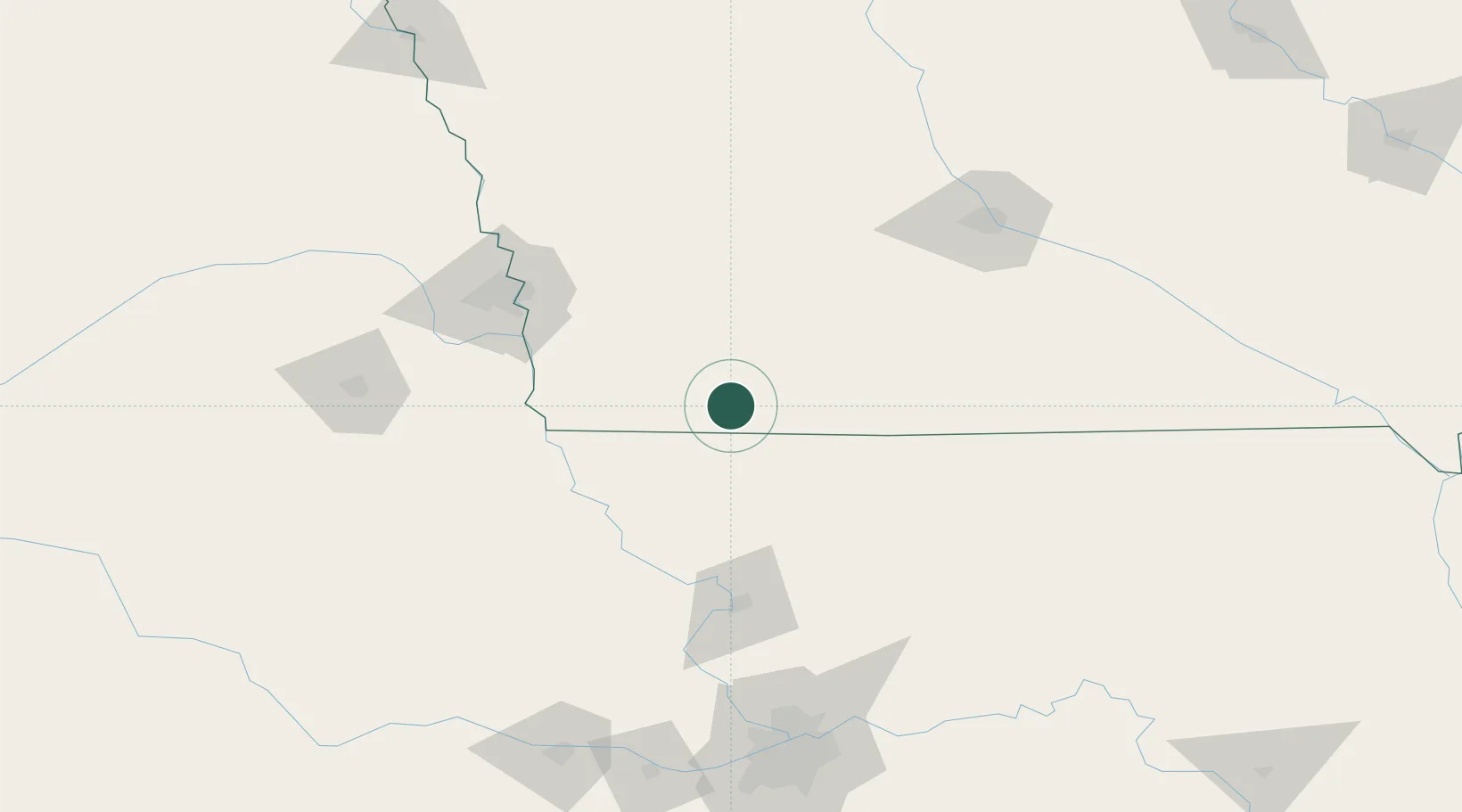
New Market
40.7167°, -94.8833°
408
Population
2
Transport functions
Transport Functions
Rail
Road
Hub Profile
Place type
Populated place
Region
Iowa
Population
408
Time zone
America/Chicago
Elevation
376 m
Location
Nearby Logistics Neighbours
Airports
- 1Offutt Air Force Base97 km
- 2Rosecrans Memorial Airport105 km
- 3Eppley Airfield107 km
- 4Des Moines International Airport137 km
- 5Kansas City International Airport158 km
Trade Zones
- 1FTZ No. 133 Quad-Cities, Iowa Illinois137 km
- 2FTZ No. 107 Polk County145 km
- 3FTZ No. 059 Lincoln164 km
- 4FTZ No. 017 Kansas City181 km
- 5FTZ No. 015 Kansas City209 km
DatabookThe Record of Consolidated Knowledge
United States beyond logistics?