Transport Functions
Rail
Road
Multimodal
Hub Profile
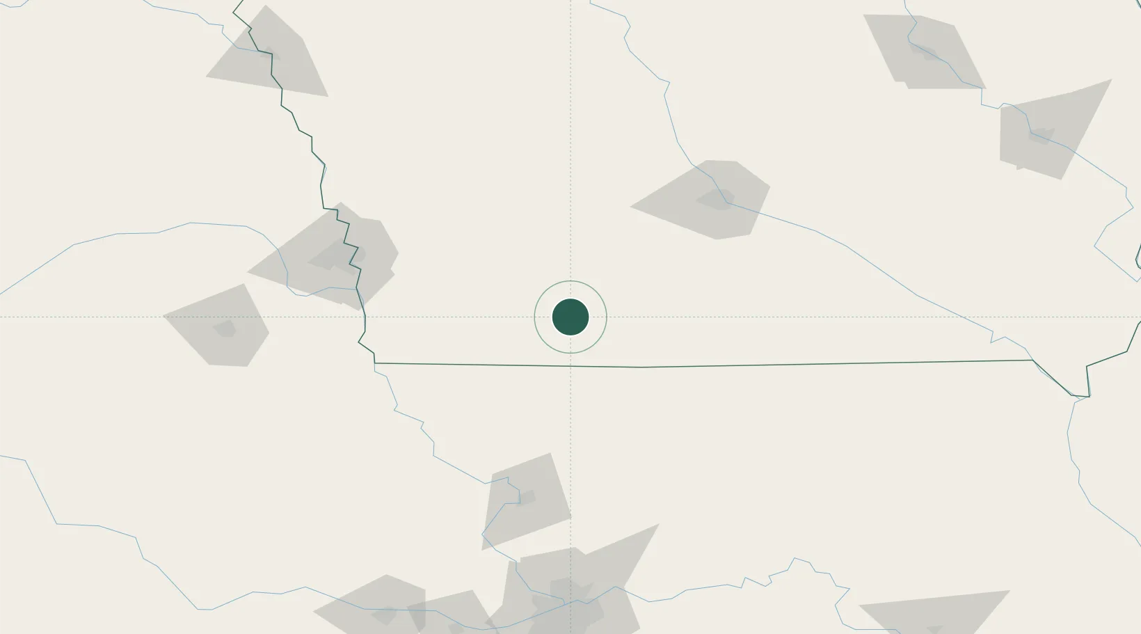
Place type
Populated place
Region
Iowa
Population
1,385
Time zone
America/Chicago
Elevation
395 m
Location
Nearby Logistics Neighbours
Cities
- 1New Market33 km
- 2Villisca34 km
- 3Mount Ayr35 km
- 4Afton35 km
- 5Pickering54 km
Airports
- 1Des Moines International Airport105 km
- 2Offutt Air Force Base116 km
- 3Eppley Airfield121 km
- 4Rosecrans Memorial Airport127 km
- 5Kansas City International Airport176 km
Trade Zones
- 1FTZ No. 107 Polk County113 km
- 2FTZ No. 133 Quad-Cities, Iowa Illinois169 km
- 3FTZ No. 059 Lincoln191 km
- 4FTZ No. 017 Kansas City201 km
- 5FTZ No. 015 Kansas City229 km
DatabookThe Record of Consolidated Knowledge
United States beyond logistics?