Large airport · United States
Eppley AirfieldKOMA
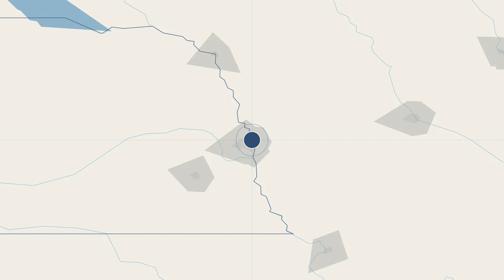
41.3032°, -95.8941°
9,502 ft
Longest runway
3
Runways
984 ft
Elevation
Runway & Layout

Radio Frequencies
ATIS
120.4 MHz
TWR
132.1 MHz
OMAHA TWR
GND
121.9 MHz
CLD
119.9 MHz
CLNC DEL
A/D
135.875 MHz
OMAHA APP/DEP
RCO
116.3 MHz
FORT DODGE RDO
RDO
122.35 MHz
COLUMBUS RDO
UNIC
122.95 MHz
UNICOM
Navaids
EN NDB Rikky 426 kHz
GN NDB Bridl 340 kHz
OM NDB Gerfi 320 kHz
PP NDB Flick 513 kHz
Runways · 3
| Runway | Dimensions | Surface | True heading | Lit |
|---|---|---|---|---|
| 14R/32L | 9,502 × 150ft | Asphalt / concrete | 144° | ✓ |
| 14L/32R | 8,500 × 150ft | Concrete | 144° | ✓ |
| 18/36 | 8,154 × 150ft | Asphalt / concrete | 180° | ✓ |
Airport Specifications
IATA code
OMA
ICAO code
KOMA
Airport class
Large airport
Scheduled service
Yes
Runway surface
Asphalt / concrete
Served city
Omaha
Location
Nearby Logistics Neighbours
Airports
Cities
- 1Omaha13 km
- 2Fort Calhoun19 km
- 3La Vista21 km
- 4Underwood21 km
- 5Elkhorn28 km
Trade Zones
- 1FTZ No. 059 Lincoln96 km
- 2FTZ No. 133 Quad-Cities, Iowa Illinois133 km
- 3FTZ No. 107 Polk County186 km
- 4FTZ No. 288 Northwest Iowa207 km
- 5FTZ No. 220 Sioux Falls261 km
DatabookThe Record of Consolidated Knowledge
United States beyond logistics?