UN/LOCODE hub · United States
USQSG
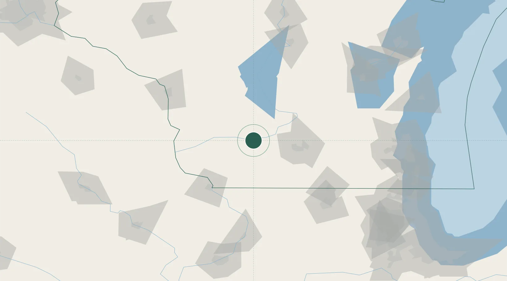
Spring Green
43.1667°, -90.0667°
1,648
Population
4
Transport functions
Transport Functions
Port
Rail
Road
Multimodal
Hub Profile
Place type
Populated place
Region
Wisconsin
Population
1,648
Time zone
America/Chicago
Elevation
220 m
Location
Nearby Logistics Neighbours
Cities
- 1Avoca20 km
- 2Mazomanie23 km
- 3Sauk City31 km
- 4Cobb31 km
- 5Prairie du Sac31 km
Ports
- 1Milwaukee178 km
- 2Port Washington180 km
- 3Kaukauna191 km
- 4Racine192 km
- 5Kenosha195 km
Airports
- 1Dane County Regional Truax Field59 km
- 2Volk Field87 km
- 3Dubuque Regional Airport100 km
- 4La Crosse Regional Airport124 km
- 5Chicago Rockford International Airport134 km
Trade Zones
- 1FTZ No. 266 Dane County31 km
- 2FTZ No. 271 Jo-Daviess and Carroll Counties96 km
- 3FTZ No. 176 Rockford124 km
- 4FTZ No. 041 Milwaukee160 km
- 5FTZ No. 175 Cedar Rapids195 km
DatabookThe Record of Consolidated Knowledge
United States beyond logistics?