UN/LOCODE hub · United States
USPS3
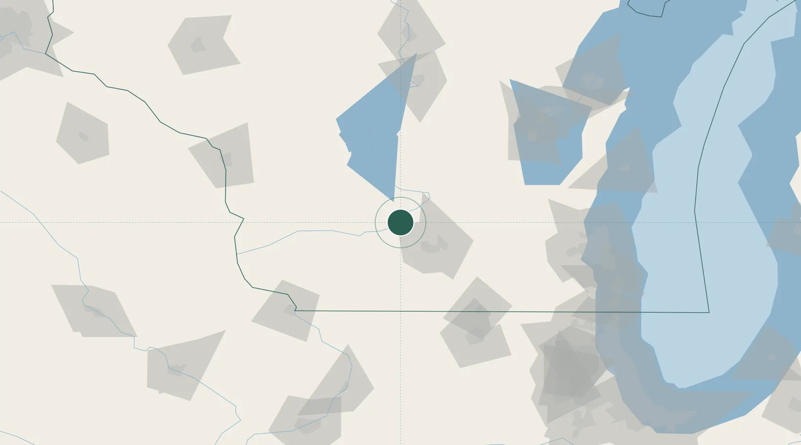
Prairie du Sac
43.2833°, -89.7167°
4,255
Population
3
Transport functions
Transport Functions
Port
Rail
Road
Hub Profile
Place type
Populated place
Region
Wisconsin
Population
4,255
Time zone
America/Chicago
Elevation
236 m
Location
Nearby Logistics Neighbours
Cities
- 1Sauk City2 km
- 2Mazomanie14 km
- 3Lodi16 km
- 4Dane18 km
- 5North Freedom22 km
Ports
- 1Port Washington150 km
- 2Milwaukee151 km
- 3Kaukauna161 km
- 4Racine169 km
- 5Sheboygan171 km
Airports
- 1Dane County Regional Truax Field35 km
- 2Volk Field85 km
- 3Wittman Regional Airport122 km
- 4Dubuque Regional Airport127 km
- 5Chicago Rockford International Airport131 km
Trade Zones
- 1FTZ No. 266 Dane County24 km
- 2FTZ No. 271 Jo-Daviess and Carroll Counties116 km
- 3FTZ No. 176 Rockford122 km
- 4FTZ No. 041 Milwaukee133 km
- 5FTZ No. 167 Brown County174 km
DatabookThe Record of Consolidated Knowledge
United States beyond logistics?