Transport Functions
Rail
Road
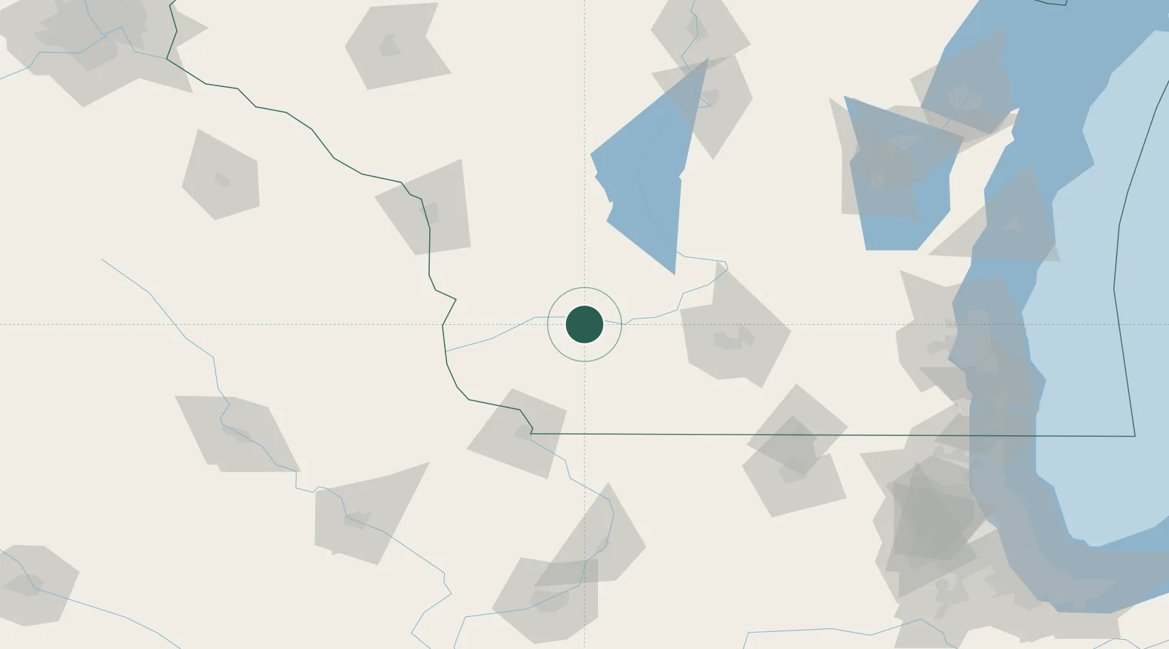
Hub Profile
Place type
Populated place
Region
Wisconsin
Population
627
Time zone
America/Chicago
Elevation
213 m
Location
Nearby Logistics Neighbours
Cities
- 1Spring Green20 km
- 2Cobb22 km
- 3Mineral Point, Iowa37 km
- 4Mazomanie43 km
- 5Readstown47 km
Ports
- 1Milwaukee198 km
- 2Port Washington200 km
- 3Kaukauna206 km
- 4Racine212 km
- 5Kenosha214 km
Airports
Trade Zones
- 1FTZ No. 266 Dane County51 km
- 2FTZ No. 271 Jo-Daviess and Carroll Counties95 km
- 3FTZ No. 176 Rockford136 km
- 4FTZ No. 041 Milwaukee180 km
- 5FTZ No. 175 Cedar Rapids181 km
DatabookThe Record of Consolidated Knowledge
United States beyond logistics?