UN/LOCODE hub · United States
USMZV
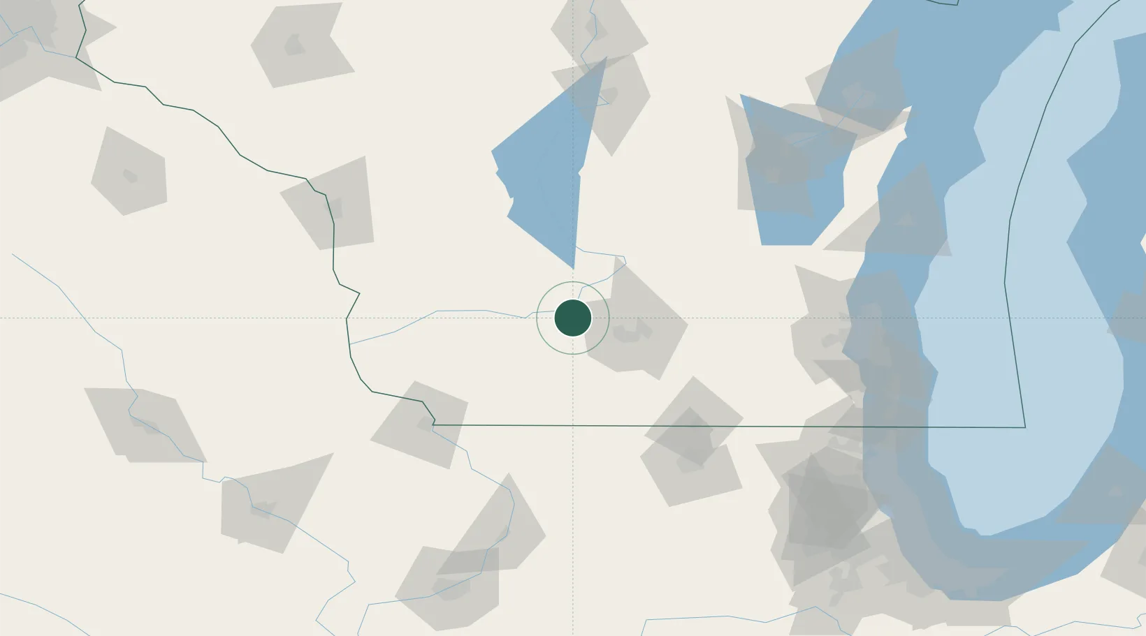
Mazomanie
43.1667°, -89.7833°
1,697
Population
2
Transport functions
Transport Functions
Rail
Road
Hub Profile
Place type
Populated place
Region
Wisconsin
Population
1,697
Time zone
America/Chicago
Elevation
234 m
Location
Nearby Logistics Neighbours
Cities
- 1Sauk City12 km
- 2Prairie du Sac14 km
- 3Mount Horeb19 km
- 4Spring Green23 km
- 5Dane25 km
Ports
- 1Milwaukee155 km
- 2Port Washington157 km
- 3Racine170 km
- 4Kenosha173 km
- 5Kaukauna174 km
Airports
- 1Dane County Regional Truax Field36 km
- 2Volk Field94 km
- 3Dubuque Regional Airport114 km
- 4Chicago Rockford International Airport122 km
- 5Wittman Regional Airport134 km
Trade Zones
- 1FTZ No. 266 Dane County13 km
- 2FTZ No. 271 Jo-Daviess and Carroll Counties102 km
- 3FTZ No. 176 Rockford112 km
- 4FTZ No. 041 Milwaukee137 km
- 5FTZ No. 292 Lake County181 km
DatabookThe Record of Consolidated Knowledge
United States beyond logistics?