UN/LOCODE hub · United States
USSC3
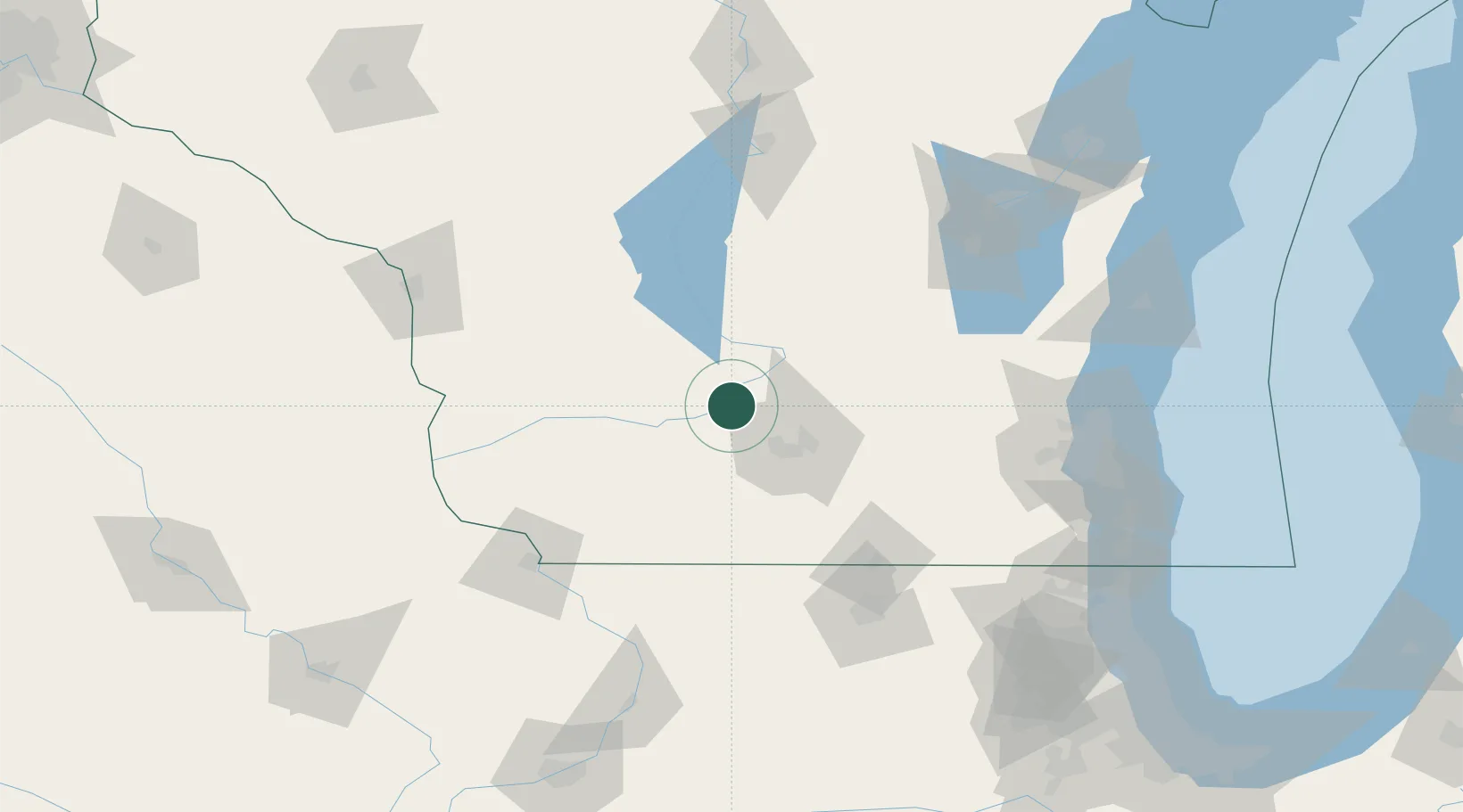
Sauk City
43.2667°, -89.7167°
3,489
Population
2
Transport functions
Transport Functions
Rail
Road
Hub Profile
Place type
Populated place
Region
Wisconsin
Population
3,489
Time zone
America/Chicago
Elevation
226 m
Location
Nearby Logistics Neighbours
Cities
- 1Prairie du Sac2 km
- 2Mazomanie12 km
- 3Lodi17 km
- 4Dane18 km
- 5North Freedom24 km
Ports
- 1Port Washington150 km
- 2Milwaukee151 km
- 3Kaukauna162 km
- 4Racine168 km
- 5Sheboygan171 km
Airports
- 1Dane County Regional Truax Field34 km
- 2Volk Field86 km
- 3Wittman Regional Airport123 km
- 4Dubuque Regional Airport126 km
- 5Chicago Rockford International Airport129 km
Trade Zones
- 1FTZ No. 266 Dane County22 km
- 2FTZ No. 271 Jo-Daviess and Carroll Counties114 km
- 3FTZ No. 176 Rockford120 km
- 4FTZ No. 041 Milwaukee133 km
- 5FTZ No. 167 Brown County175 km
DatabookThe Record of Consolidated Knowledge
United States beyond logistics?