Transport Functions
Rail
Road
Hub Profile
Place type
Populated place
Region
Wisconsin
Population
463
Time zone
America/Chicago
Elevation
357 m
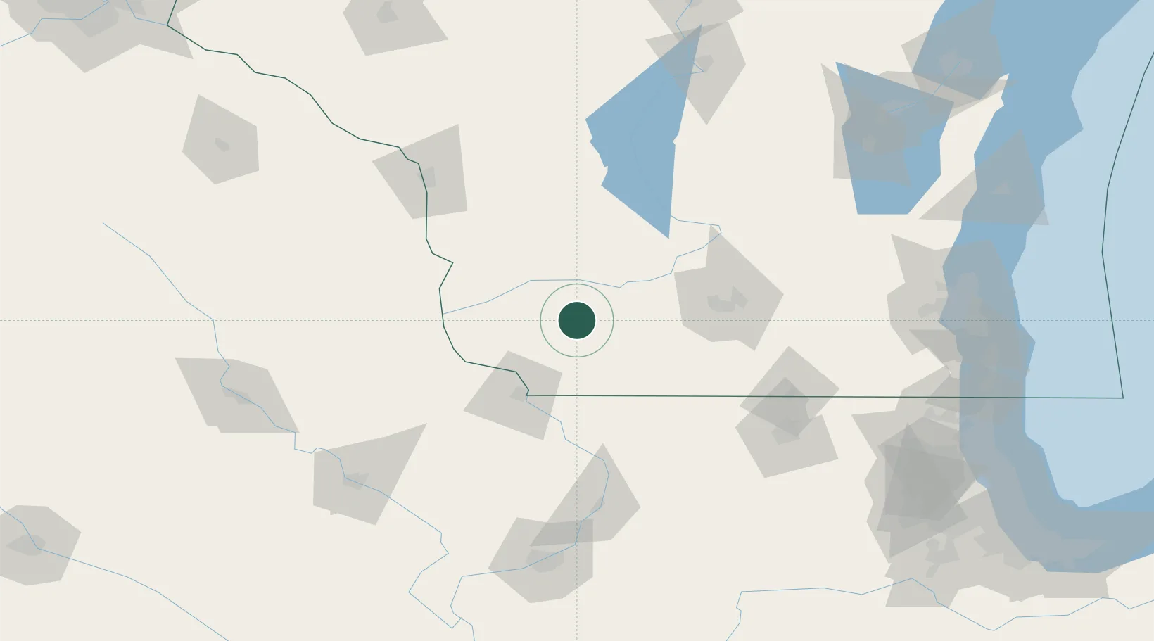
Location
Nearby Logistics Neighbours
Cities
- 1Mineral Point, Iowa19 km
- 2Avoca22 km
- 3Belmont26 km
- 4Platteville28 km
- 5Spring Green31 km
Ports
- 1Milwaukee199 km
- 2Port Washington205 km
- 3Racine210 km
- 4Kenosha210 km
- 5Waukegan216 km
Airports
- 1Dubuque Regional Airport70 km
- 2Dane County Regional Truax Field83 km
- 3Volk Field108 km
- 4La Crosse Regional Airport126 km
- 5Chicago Rockford International Airport133 km
Trade Zones
- 1FTZ No. 266 Dane County52 km
- 2FTZ No. 271 Jo-Daviess and Carroll Counties73 km
- 3FTZ No. 176 Rockford122 km
- 4FTZ No. 175 Cedar Rapids164 km
- 5FTZ No. 041 Milwaukee181 km
DatabookThe Record of Consolidated Knowledge
United States beyond logistics?