Medium airport · United States
Chicago Rockford International AirportKRFD
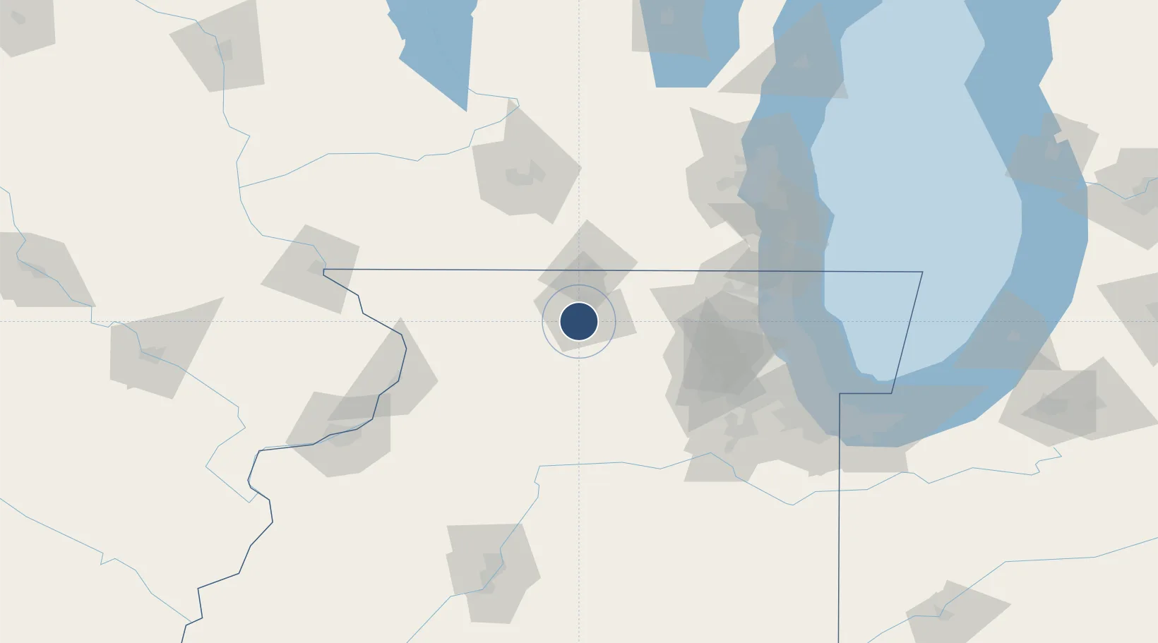
42.1954°, -89.0972°
10,002 ft
Longest runway
2
Runways
742 ft
Elevation
Runway & Layout

Radio Frequencies
ATIS
126.7 MHz
TWR
118.3 MHz
ROCKFORD TWR
GND
121.9 MHz
CLD
119.25 MHz
CLNC DEL
A/D
121 MHz
ROCKFORD APP/DEP
RDO
122.65 MHz
KANKAKEE RDO
UNIC
122.95 MHz
UNICOM
Navaids
RF NDB Gilmy 275 kHz
RFD VOR-DME Rockford 110.80 MHz
Runways · 2
| Runway | Dimensions | Surface | True heading | Lit |
|---|---|---|---|---|
| 07/25 | 10,002 × 150ft | Asphalt / concrete | 065° | ✓ |
| 01/19 | 8,200 × 150ft | Asphalt | 005° | ✓ |
Airport Specifications
IATA code
RFD
ICAO code
KRFD
Airport class
Medium airport
Scheduled service
Yes
Runway surface
Asphalt / concrete
Served city
Chicago/Rockford
Location
Nearby Logistics Neighbours
Airports
- 1Dupage Airport77 km
- 2Chicago Executive Airport99 km
- 3Chicago O'Hare International Airport101 km
- 4Kenosha Regional Airport106 km
- 5Dane County Regional Truax Field107 km
Cities
- 1Davis Junction11 km
- 2Winnebago13 km
- 3Loves Park14 km
- 4Byron15 km
- 5Machesney Park16 km
Ports
- 1Great Lakes105 km
- 2Waukegan107 km
- 3Kenosha114 km
- 4Wilmette117 km
- 5Racine123 km
Trade Zones
- 1FTZ No. 176 Rockford11 km
- 2FTZ No. 271 Jo-Daviess and Carroll Counties95 km
- 3FTZ No. 292 Lake County100 km
- 4FTZ No. 022 Chicago109 km
- 5FTZ No. 266 Dane County109 km
DatabookThe Record of Consolidated Knowledge
United States beyond logistics?