Transport Functions
Road
Multimodal
Hub Profile
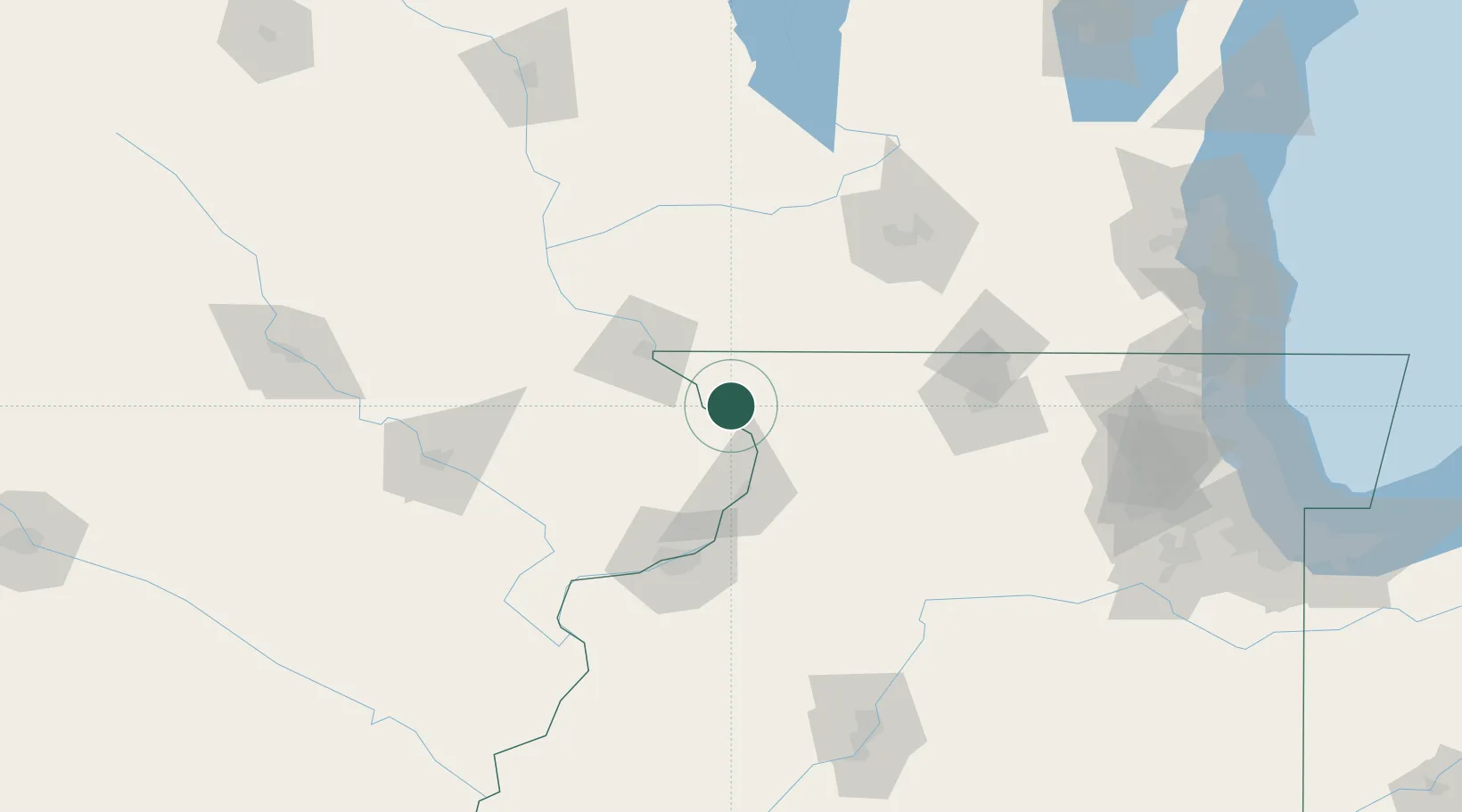
Place type
Populated place
Region
Illinois
Population
814
Time zone
America/Chicago
Elevation
194 m
Location
Nearby Logistics Neighbours
Cities
- 1Scales Mound24 km
- 2Shullsburg35 km
- 3Lanark39 km
- 4East Dubuque40 km
- 5Fulton44 km
Ports
- 1Great Lakes200 km
- 2Waukegan202 km
- 3Kenosha205 km
- 4Racine211 km
- 5Milwaukee214 km
Airports
Trade Zones
DatabookThe Record of Consolidated Knowledge
United States beyond logistics?