UN/LOCODE hub · United States
USZFL

Fulton

41.8667°, -90.1500°
3,369
Population
2
Transport functions

Transport Functions

Road
Multimodal
UN/LOCODE

Hub Profile

Place type
Populated place
GeoNames
Region
Illinois
GeoNames
Population
3,369
GeoNames
Time zone
America/Chicago
GeoNames
Elevation
197 m
GeoNames

Location

Location of USZFL
Natural Earth 10m (public domain) · Illinois · USZFL · 41.87, -90.15GoogleOSMYandex

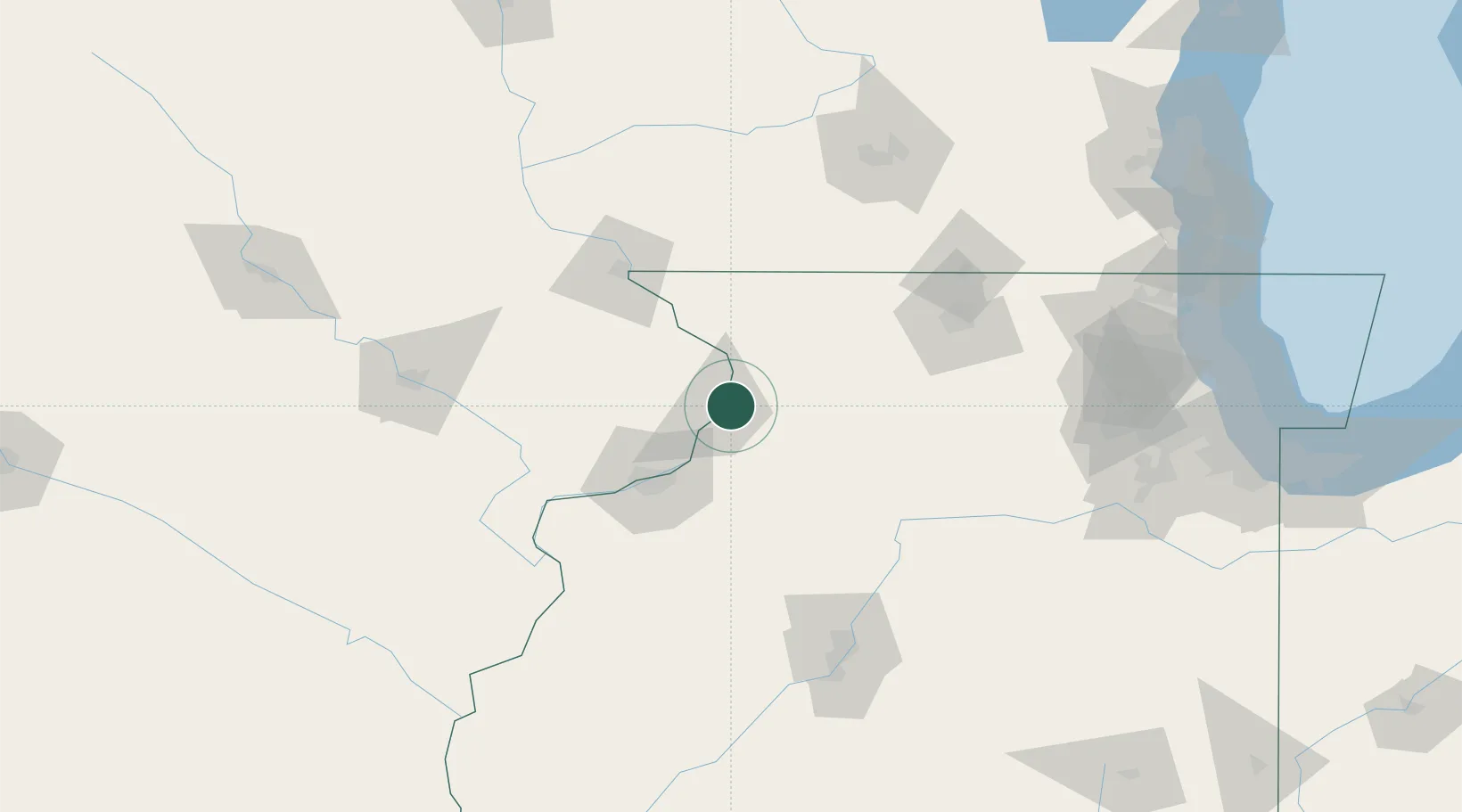
Nearby Logistics Neighbours

Cities
  1. 1East Clinton4 km
  2. 2Cordova26 km
  3. 3Princeton27 km
  4. 4Milledgeville34 km
  5. 5Lanark37 km
Nearest neighbours — logibook spatial index (haversine) over the source coordinates
Ports
  1. 1Great Lakes197 km
  2. 2Waukegan200 km
  3. 3Wilmette205 km
  4. 4Kenosha208 km
  5. 5Chicago211 km
Nearest neighbours — logibook spatial index (haversine) over the source coordinates
Airports
  1. 1Quad City International Airport55 km
  2. 2Dubuque Regional Airport75 km
  3. 3Chicago Rockford International Airport94 km
  4. 4The Eastern Iowa Airport129 km
  5. 5General Wayne A. Downing Peoria International Airport139 km
Nearest neighbours — logibook spatial index (haversine) over the source coordinates
Trade Zones
  1. 1FTZ No. 271 Jo-Daviess and Carroll Counties50 km
  2. 2FTZ No. 176 Rockford89 km
  3. 3FTZ No. 175 Cedar Rapids137 km
  4. 4FTZ No. 114 Peoria138 km
  5. 5FTZ No. 266 Dane County139 km
Nearest neighbours — logibook spatial index (haversine) over the source coordinates
DatabookThe Record of Consolidated Knowledge
United States beyond logistics?
Browse databook

All Sources

LocationsUN/LOCODE
UN/LOCODE — free
LocationsGeoNames
CC BY 4.0
Portsthe NGA World Port Index
Public domain (US gov)
AirportsOurAirports
Public domain
Trade Zonesthe World Bank SEZ database
CC BY 4.0
Trade ZonesOpen Zone Map
CC BY
← United States locations