Medium airport · United States
Quad City International AirportKMLI
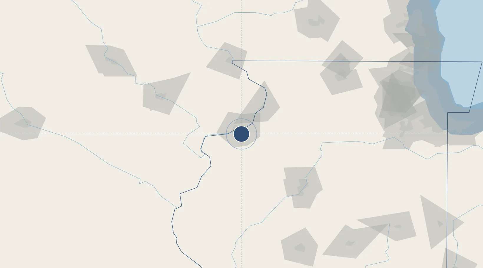
41.4485°, -90.5075°
10,002 ft
Longest runway
3
Runways
590 ft
Elevation
Runway & Layout

Radio Frequencies
ATIS
121.2 MHz
TWR
119.4 MHz
GND
121.9 MHz
CLD
123.95 MHz
CLNC DEL
CTAF
119.4 MHz
A/D
118.2 MHz
APP/DEP
RDO
122.6 MHz
KANKAKEE RDO
UNIC
122.95 MHz
UNICOM
Navaids
ML NDB Molli 215 kHz
Runways · 3
| Runway | Dimensions | Surface | True heading | Lit |
|---|---|---|---|---|
| 09/27 | 10,002 × 150ft | Asphalt / concrete | 091° | ✓ |
| 13/31 | 7,301 × 150ft | Asphalt / concrete | 128° | ✓ |
| 05/23 | 3,514 × 150ft | Asphalt | 049° | ✓ |
Airport Specifications
IATA code
MLI
ICAO code
KMLI
Airport class
Medium airport
Scheduled service
Yes
Runway surface
Asphalt / concrete
Served city
Moline
Location
Nearby Logistics Neighbours
Airports
Cities
- 1Coal Valley6 km
- 2Oak Grove7 km
- 3Silvis11 km
- 4Osco22 km
- 5Walcott26 km
Ports
- 1Great Lakes241 km
- 2Wilmette245 km
- 3Waukegan245 km
- 4Chicago246 km
- 5Calumet Harbor251 km
Trade Zones
- 1FTZ No. 055 Burlington87 km
- 2FTZ No. 271 Jo-Daviess and Carroll Counties99 km
- 3FTZ No. 114 Peoria114 km
- 4FTZ No. 175 Cedar Rapids122 km
- 5FTZ No. 176 Rockford140 km
DatabookThe Record of Consolidated Knowledge
United States beyond logistics?