UN/LOCODE hub · United States
USEQE
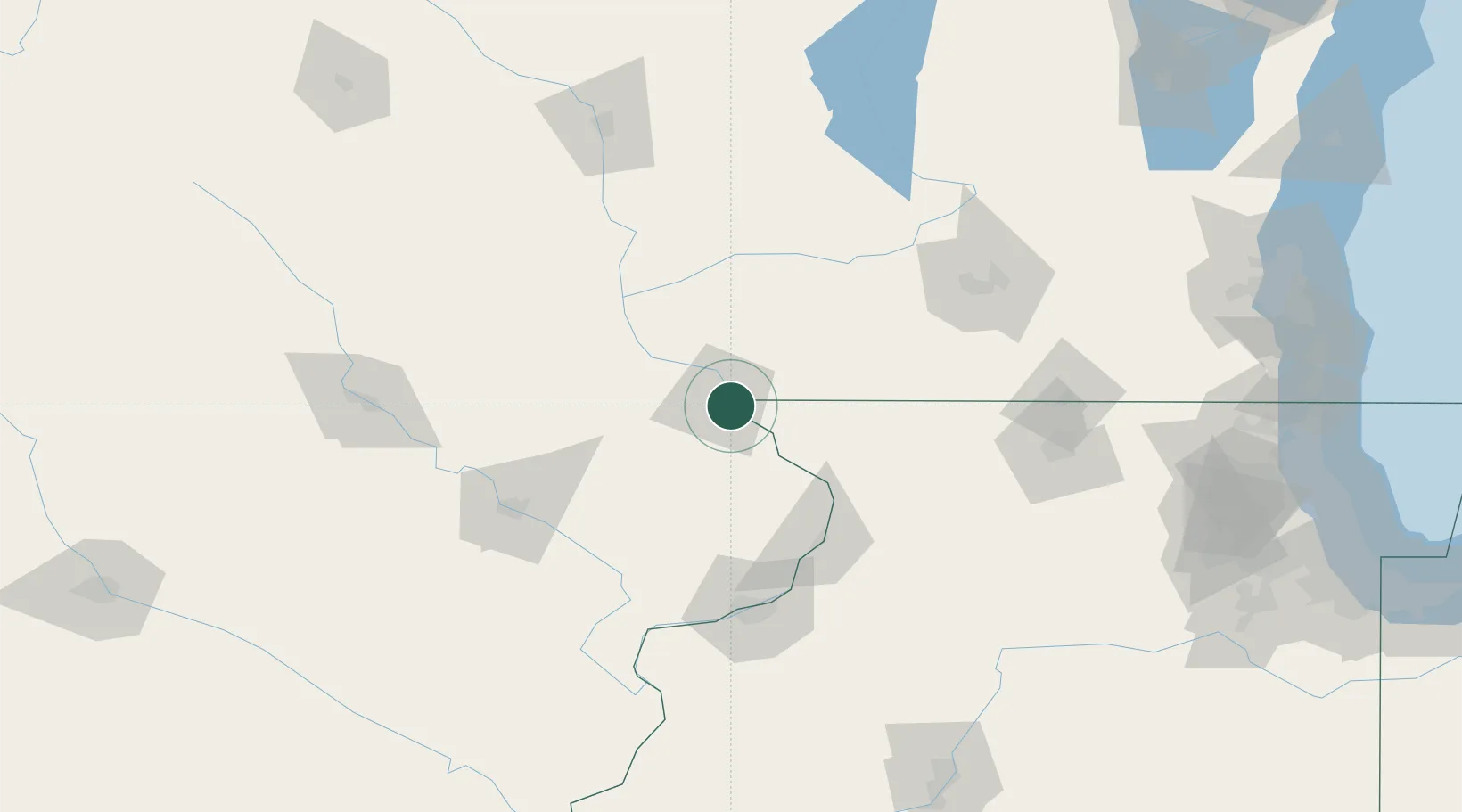
East Dubuque
42.4833°, -90.6333°
1,658
Population
4
Transport functions
Transport Functions
Port
Rail
Road
Multimodal
Hub Profile
Place type
Populated place
Region
Illinois
Population
1,658
Time zone
America/Chicago
Elevation
186 m
Location
Nearby Logistics Neighbours
Cities
- 1Van Buren22 km
- 2Farley31 km
- 3Platteville31 km
- 4Scales Mound32 km
- 5Shullsburg34 km
Ports
- 1Great Lakes231 km
- 2Kenosha231 km
- 3Waukegan232 km
- 4Milwaukee233 km
- 5Racine235 km
Airports
Trade Zones
- 1FTZ No. 271 Jo-Daviess and Carroll Counties37 km
- 2FTZ No. 266 Dane County100 km
- 3FTZ No. 175 Cedar Rapids112 km
- 4FTZ No. 176 Rockford120 km
- 5FTZ No. 055 Burlington190 km
DatabookThe Record of Consolidated Knowledge
United States beyond logistics?