UN/LOCODE hub · United States
USHJB
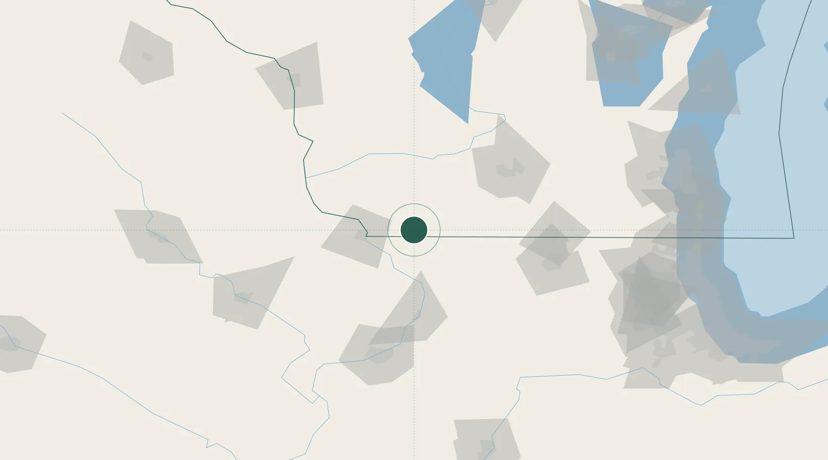
Shullsburg
42.5667°, -90.2333°
1,210
Population
2
Transport functions
Transport Functions
Rail
Road
Hub Profile
Place type
Populated place
Region
Wisconsin
Population
1,210
Time zone
America/Chicago
Elevation
303 m
Location
Nearby Logistics Neighbours
Cities
- 1Scales Mound11 km
- 2Darlington16 km
- 3Belmont20 km
- 4Platteville27 km
- 5Mineral Point, Iowa32 km
Ports
- 1Kenosha198 km
- 2Milwaukee199 km
- 3Great Lakes199 km
- 4Waukegan200 km
- 5Racine201 km
Airports
Trade Zones
DatabookThe Record of Consolidated Knowledge
United States beyond logistics?