UN/LOCODE hub · United States
USQJZ
Scales Mound
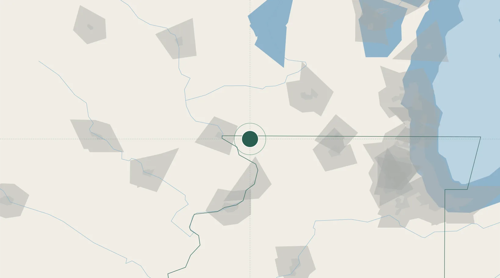
42.4667°, -90.2500°
378
Population
2
Transport functions
Transport Functions
Port
Multimodal
Hub Profile
Place type
Populated place
Region
Illinois
Population
378
Time zone
America/Chicago
Elevation
291 m
Location
Nearby Logistics Neighbours
Cities
- 1Shullsburg11 km
- 2Hanover24 km
- 3Darlington25 km
- 4Belmont30 km
- 5East Dubuque32 km
Ports
- 1Great Lakes199 km
- 2Kenosha200 km
- 3Waukegan200 km
- 4Milwaukee203 km
- 5Racine204 km
Airports
Trade Zones
DatabookThe Record of Consolidated Knowledge
United States beyond logistics?