Transport Functions
Rail
Road
Multimodal
Hub Profile
Place type
Populated place
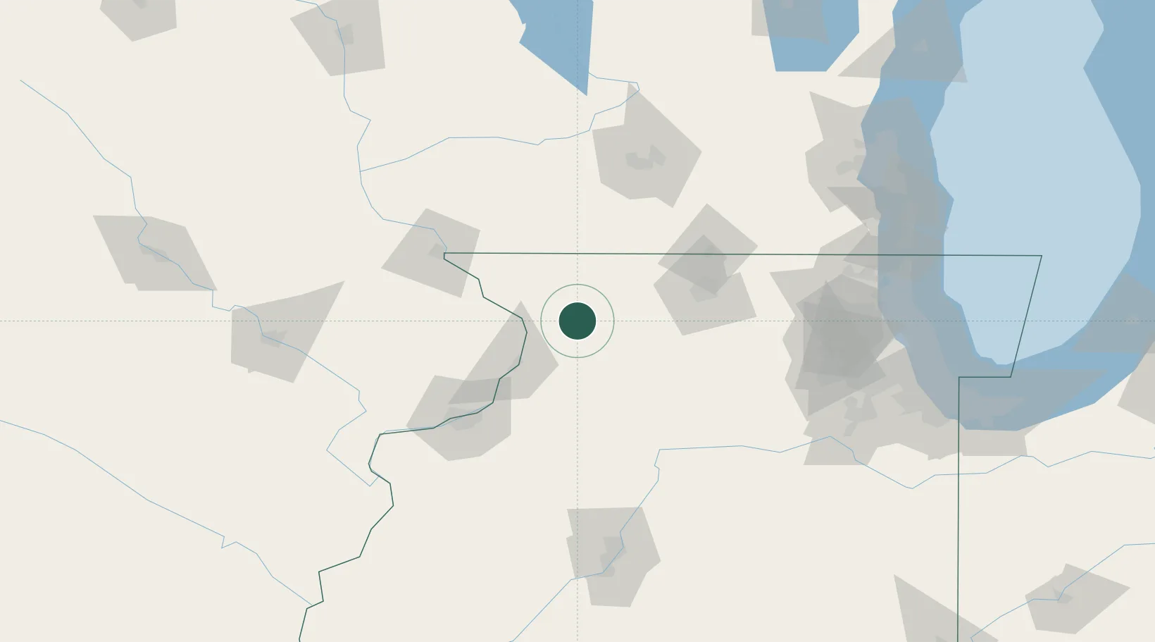
Region
Illinois
Population
1,373
Time zone
America/Chicago
Elevation
268 m
Location
Nearby Logistics Neighbours
Cities
- 1Milledgeville16 km
- 2Forreston22 km
- 3Fulton37 km
- 4Sterling37 km
- 5Hanover39 km
Ports
- 1Great Lakes166 km
- 2Waukegan169 km
- 3Kenosha174 km
- 4Wilmette177 km
- 5Racine182 km
Airports
Trade Zones
- 1FTZ No. 271 Jo-Daviess and Carroll Counties41 km
- 2FTZ No. 176 Rockford54 km
- 3FTZ No. 266 Dane County108 km
- 4FTZ No. 114 Peoria158 km
- 5FTZ No. 292 Lake County162 km
DatabookThe Record of Consolidated Knowledge
United States beyond logistics?