Transport Functions
Road
Multimodal
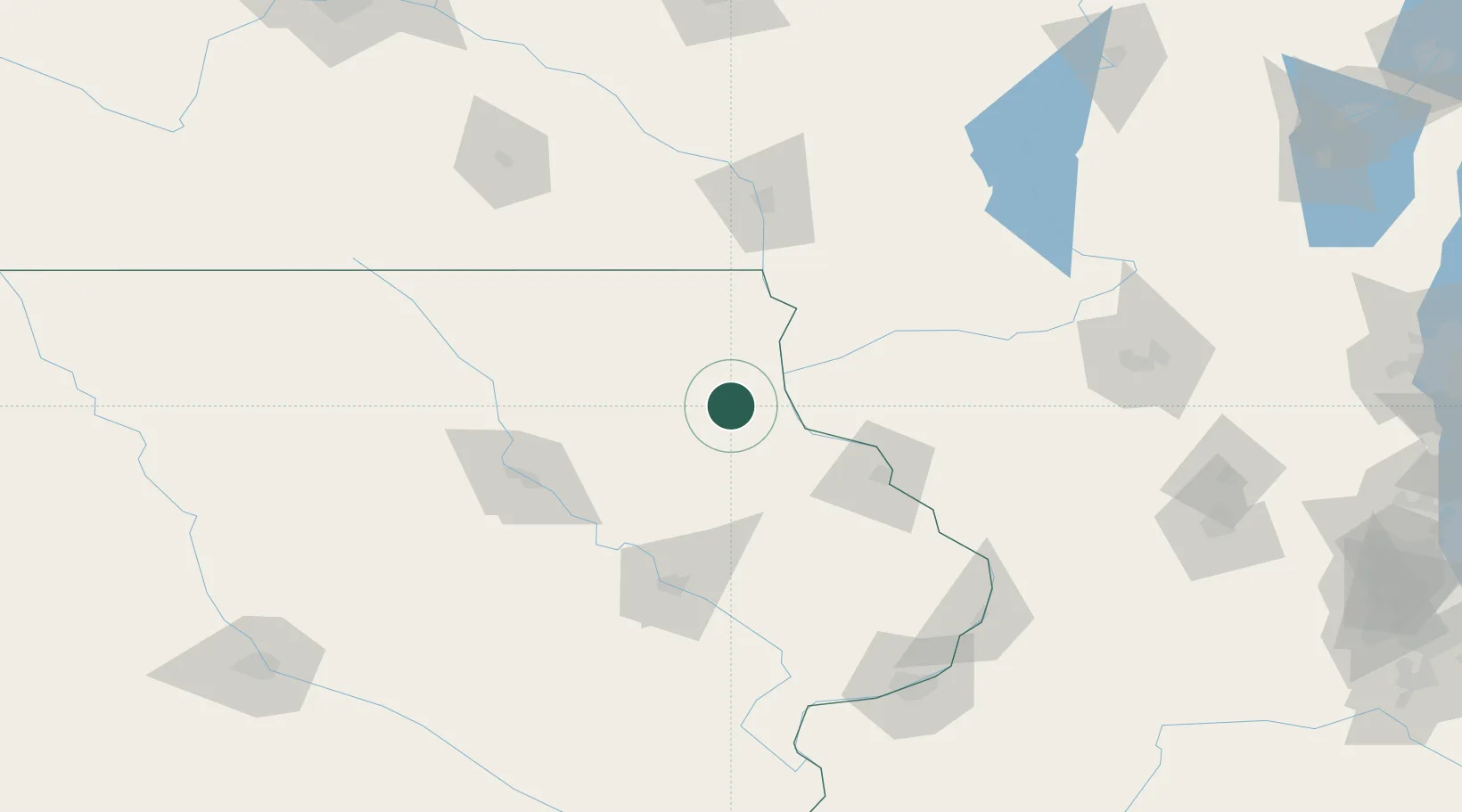
Hub Profile
Place type
Provincial seat
Region
Iowa
Population
1,213
Time zone
America/Chicago
Elevation
223 m
Location
Nearby Logistics Neighbours
Cities
- 1Strawberry Point22 km
- 2Edgewood22 km
- 3Arlington25 km
- 4McGregor26 km
- 5Clermont26 km
Ports
- 1Milwaukee287 km
- 2Port Washington293 km
- 3Kenosha294 km
- 4Racine295 km
- 5Waukegan298 km
Airports
- 1Dubuque Regional Airport75 km
- 2Waterloo Regional Airport88 km
- 3Northeast Iowa Regional Airport102 km
- 4The Eastern Iowa Airport110 km
- 5La Crosse Regional Airport115 km
Trade Zones
- 1FTZ No. 175 Cedar Rapids104 km
- 2FTZ No. 271 Jo-Daviess and Carroll Counties112 km
- 3FTZ No. 266 Dane County140 km
- 4FTZ No. 176 Rockford191 km
- 5FTZ No. 055 Burlington228 km
DatabookThe Record of Consolidated Knowledge
United States beyond logistics?