Transport Functions
Rail
Road
Hub Profile
Place type
Populated place
Region
Iowa
Population
410
Time zone
America/Chicago
Elevation
344 m
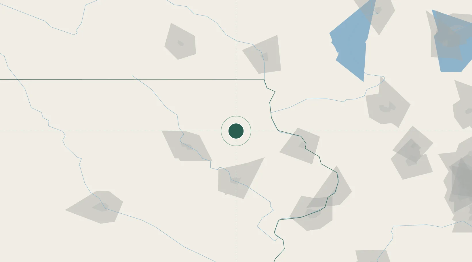
Location
Nearby Logistics Neighbours
Cities
- 1Strawberry Point12 km
- 2Fayette16 km
- 3Edgewood24 km
- 4Elkader25 km
- 5Clermont30 km
Ports
- 1Milwaukee310 km
- 2Kenosha315 km
- 3Port Washington317 km
- 4Racine317 km
- 5Great Lakes318 km
Airports
Trade Zones
- 1FTZ No. 175 Cedar Rapids86 km
- 2FTZ No. 271 Jo-Daviess and Carroll Counties126 km
- 3FTZ No. 266 Dane County164 km
- 4FTZ No. 107 Polk County206 km
- 5FTZ No. 176 Rockford209 km
DatabookThe Record of Consolidated Knowledge
United States beyond logistics?