Transport Functions
Road
Multimodal
Hub Profile
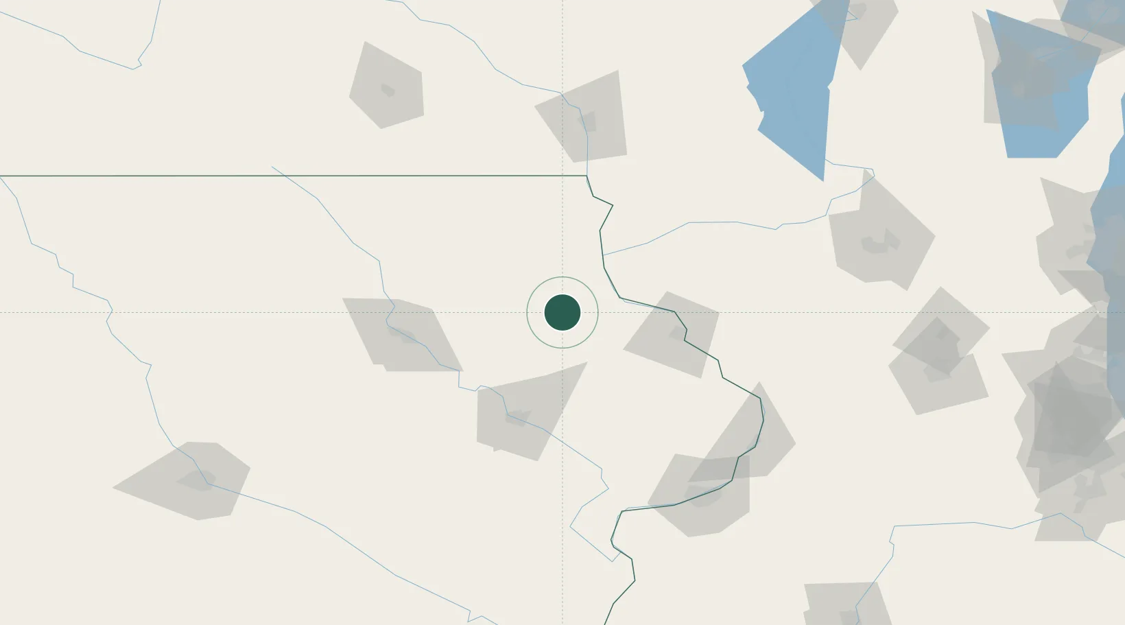
Place type
Populated place
Region
Iowa
Population
867
Time zone
America/Chicago
Elevation
358 m
Location
Nearby Logistics Neighbours
Cities
- 1Strawberry Point12 km
- 2Colesburg17 km
- 3Elkader22 km
- 4Earlville23 km
- 5Arlington24 km
Ports
- 1Milwaukee290 km
- 2Kenosha293 km
- 3Great Lakes295 km
- 4Waukegan295 km
- 5Racine296 km
Airports
Trade Zones
- 1FTZ No. 175 Cedar Rapids83 km
- 2FTZ No. 271 Jo-Daviess and Carroll Counties102 km
- 3FTZ No. 266 Dane County146 km
- 4FTZ No. 176 Rockford185 km
- 5FTZ No. 055 Burlington206 km
DatabookThe Record of Consolidated Knowledge
United States beyond logistics?