UN/LOCODE hub · United States
USSP5
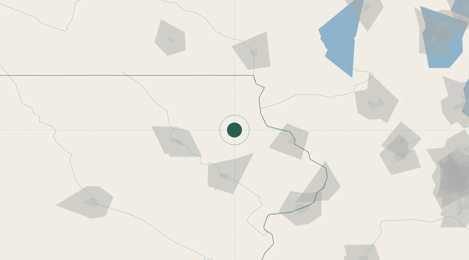
Strawberry Point
42.6833°, -91.5333°
1,236
Population
2
Transport functions
Transport Functions
Road
Multimodal
Hub Profile
Place type
Populated place
Region
Iowa
Population
1,236
Time zone
America/Chicago
Elevation
372 m
Location
Nearby Logistics Neighbours
Ports
- 1Milwaukee300 km
- 2Kenosha304 km
- 3Great Lakes306 km
- 4Racine306 km
- 5Waukegan307 km
Airports
Trade Zones
- 1FTZ No. 175 Cedar Rapids83 km
- 2FTZ No. 271 Jo-Daviess and Carroll Counties114 km
- 3FTZ No. 266 Dane County155 km
- 4FTZ No. 176 Rockford197 km
- 5FTZ No. 055 Burlington211 km
DatabookThe Record of Consolidated Knowledge
United States beyond logistics?