Transport Functions
Rail
Road
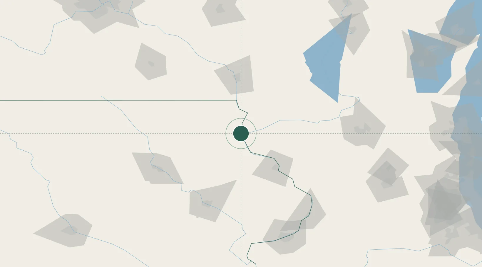
Hub Profile
Place type
Populated place
Region
Iowa
Population
839
Time zone
America/Chicago
Elevation
211 m
Location
Nearby Logistics Neighbours
Cities
- 1Harpers Ferry21 km
- 2Elkader26 km
- 3Clermont38 km
- 4Colesburg43 km
- 5Edgewood44 km
Ports
- 1Milwaukee268 km
- 2Port Washington272 km
- 3Kaukauna274 km
- 4Racine279 km
- 5Kenosha279 km
Airports
- 1Dubuque Regional Airport79 km
- 2La Crosse Regional Airport96 km
- 3Waterloo Regional Airport112 km
- 4Northeast Iowa Regional Airport116 km
- 5Volk Field127 km
Trade Zones
- 1FTZ No. 271 Jo-Daviess and Carroll Counties110 km
- 2FTZ No. 266 Dane County120 km
- 3FTZ No. 175 Cedar Rapids128 km
- 4FTZ No. 176 Rockford183 km
- 5FTZ No. 055 Burlington245 km
DatabookThe Record of Consolidated Knowledge
United States beyond logistics?