Transport Functions
Port
Road
Hub Profile
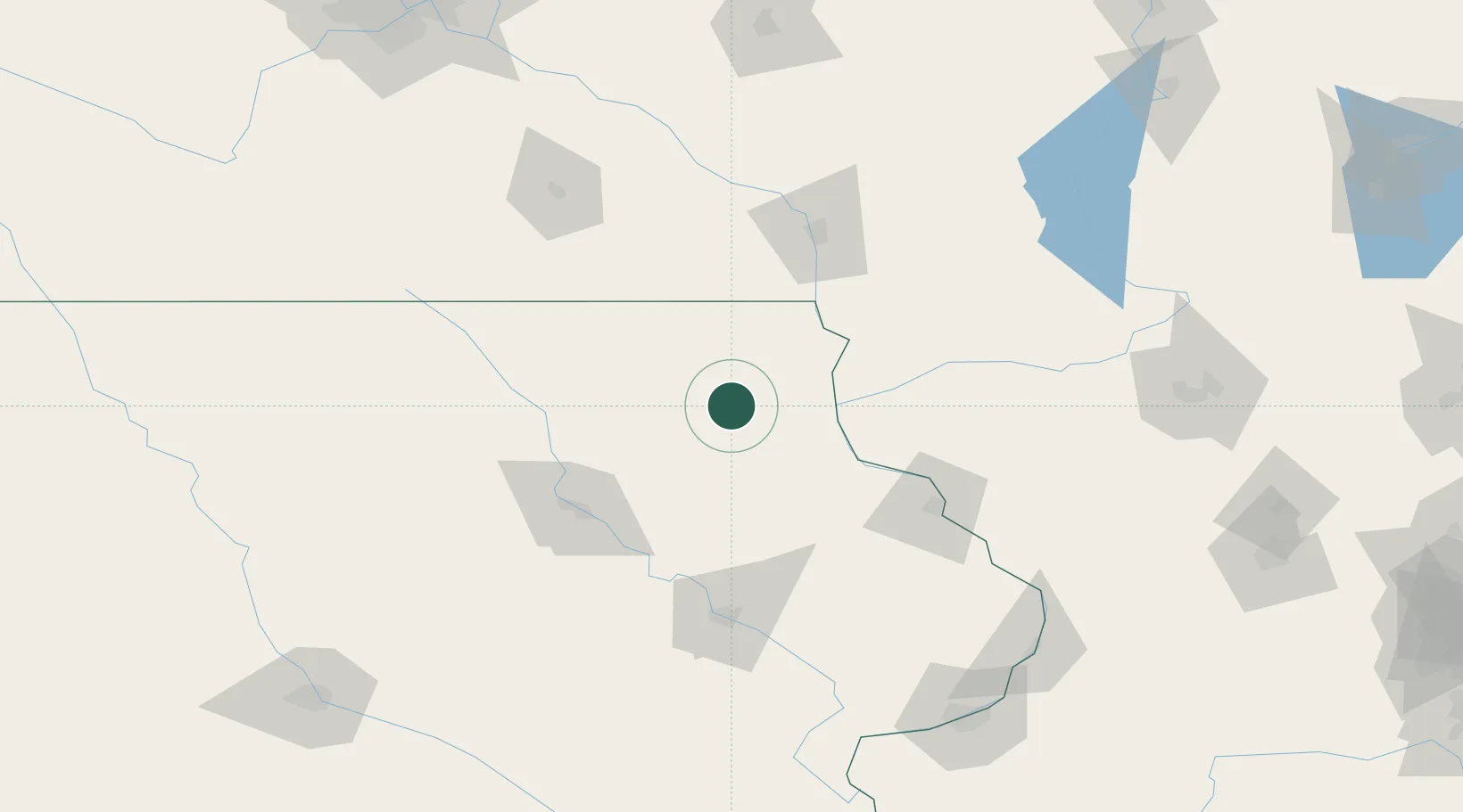
Place type
Populated place
Region
Iowa
Population
609
Time zone
America/Chicago
Elevation
262 m
Location
Nearby Logistics Neighbours
Cities
- 1Fayette22 km
- 2Elkader26 km
- 3Arlington30 km
- 4Spillville33 km
- 5Strawberry Point37 km
Ports
- 1Milwaukee306 km
- 2Kaukauna307 km
- 3Port Washington310 km
- 4Kenosha316 km
- 5Racine317 km
Airports
Trade Zones
- 1FTZ No. 175 Cedar Rapids116 km
- 2FTZ No. 271 Jo-Daviess and Carroll Counties138 km
- 3FTZ No. 266 Dane County158 km
- 4FTZ No. 176 Rockford216 km
- 5FTZ No. 107 Polk County225 km
DatabookThe Record of Consolidated Knowledge
United States beyond logistics?