UN/LOCODE hub · United States
USFIW
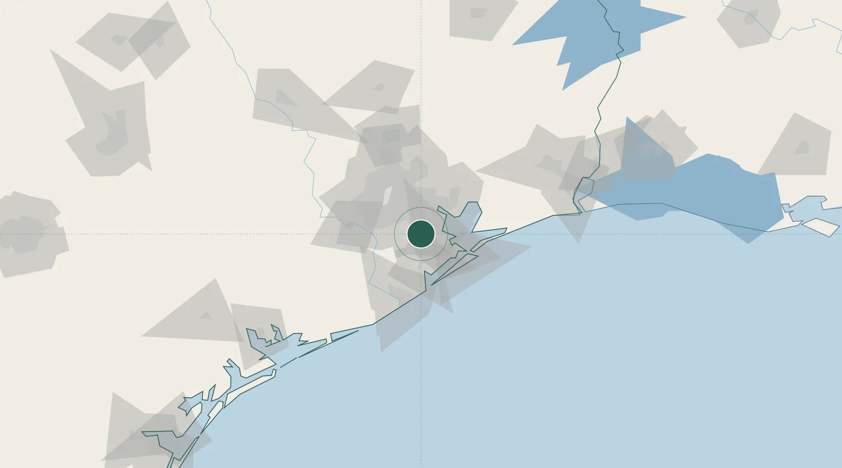
Friendswood
29.5167°, -95.2000°
38,800
Population
2
Transport functions
Transport Functions
Road
Multimodal
Hub Profile
Place type
Populated place
Region
Texas
Population
38,800
Time zone
America/Chicago
Elevation
10 m
Location
Nearby Logistics Neighbours
Cities
- 1Webster, Harris8 km
- 2League City11 km
- 3South Houston15 km
- 4Pasadena17 km
- 5Kemah18 km
Ports
- 1Pasadena22 km
- 2Houston27 km
- 3Deer Park29 km
- 4Baytown30 km
- 5Texas City31 km
Airports
Trade Zones
- 1FTZ No. 199 Texas City30 km
- 2FTZ No. 084 Harris County33 km
- 3FTZ No. 036 Galveston45 km
- 4FTZ No. 149 Freeport68 km
- 5FTZ No. 171 Liberty County76 km
DatabookThe Record of Consolidated Knowledge
United States beyond logistics?