Transport Functions
Port
Road
Hub Profile
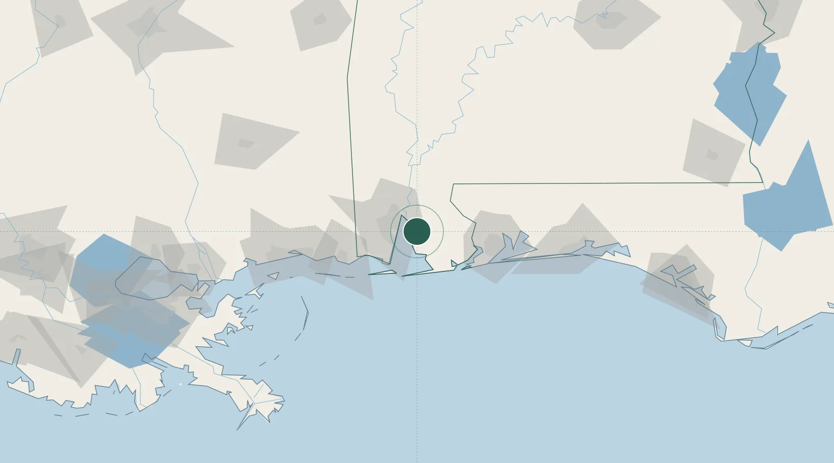
Place type
Populated place
Region
Alabama
Population
24,896
Time zone
America/Chicago
Elevation
49 m
Location
Nearby Logistics Neighbours
Cities
- 1Pinto Island13 km
- 2Robertsdale18 km
- 3Chickasaw24 km
- 4Whistler25 km
- 5Saraland28 km
Ports
- 1Mobile23 km
- 2Pensacola69 km
- 3Pascagoula70 km
- 4Biloxi97 km
- 5Gulfport117 km
Airports
Trade Zones
- 1FTZ No. 082 Mobile21 km
- 2FTZ No. 249 Pensacola64 km
- 3FTZ No. 092 Harrison County105 km
- 4FTZ No. 065 Panama City212 km
- 5FTZ No. 002 New Orleans221 km
DatabookThe Record of Consolidated Knowledge
United States beyond logistics?