Transport Functions
Rail
Road
Hub Profile
Place type
Populated place
Region
Texas
Population
825
Time zone
America/Chicago
Elevation
207 m
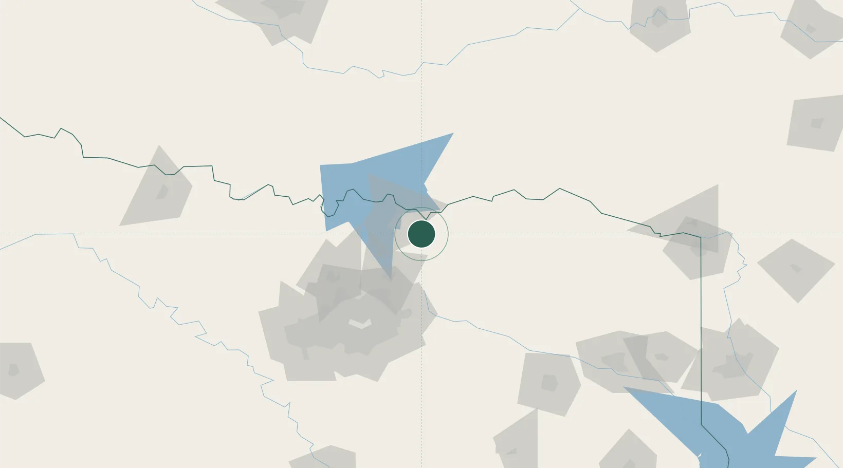
Location
Nearby Logistics Neighbours
Cities
- 1Van Alstyne26 km
- 2Burnett31 km
- 3Melissa38 km
- 4Farmersville48 km
- 5Whitesboro50 km
Airports
Trade Zones
- 1FTZ No. 227 Durant47 km
- 2FTZ No. 196 Fort Worth142 km
- 3FTZ No. 168 Dallas Fort Worth143 km
- 4FTZ No. 113 Ellis County155 km
- 5FTZ No. 258 Bowie County157 km
DatabookThe Record of Consolidated Knowledge
United States beyond logistics?