Medium airport · United States
North Texas Regional Airport Perrin FieldKGYI
33.7141°, -96.6737°
9,000 ft
Longest runway
2
Runways
749 ft
Elevation
Runway & Layout

Radio Frequencies
AWOS
118.775 MHz
AWOS 3
A/D
124.75 MHz
FORT WORTH APP/DEP
RDO
122.3 MHz
FORT WORTH RDO
UNIC
122.7 MHz
CTAF/UNICOM
Runways · 2
| Runway | Dimensions | Surface | True heading | Lit |
|---|---|---|---|---|
| 18L/36R | 9,000 × 150ft | Asphalt / concrete | 182° | ✓ |
| 18R/36L | 4,008 × 100ft | Asphalt | 182° | — |
Airport Specifications
IATA code
PNX
ICAO code
KGYI
Airport class
Medium airport
Scheduled service
No
Runway surface
Asphalt / concrete
Served city
Denison
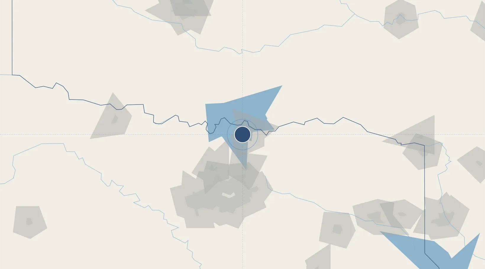
Location
Nearby Logistics Neighbours
Airports
Cities
- 1Whitesboro22 km
- 2Savoy32 km
- 3Van Alstyne35 km
- 4Tioga36 km
- 5Thackerville43 km
Trade Zones
- 1FTZ No. 227 Durant42 km
- 2FTZ No. 196 Fort Worth131 km
- 3FTZ No. 168 Dallas Fort Worth134 km
- 4FTZ No. 113 Ellis County160 km
- 5FTZ No. 039 Dallas Fort Worth170 km
DatabookThe Record of Consolidated Knowledge
United States beyond logistics?