Transport Functions
Road
Multimodal
Hub Profile
Place type
Populated place
Region
Texas
Time zone
America/Chicago
Elevation
202 m
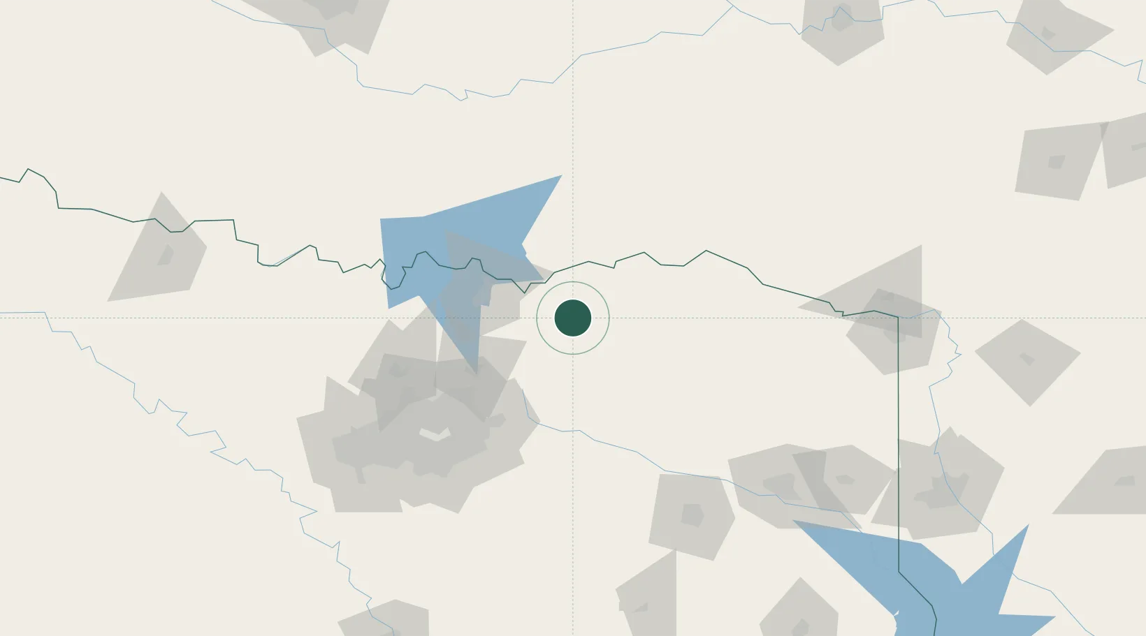
Location
Nearby Logistics Neighbours
Cities
- 1Savoy31 km
- 2Cooper37 km
- 3Sumner40 km
- 4Van Alstyne52 km
- 5Farmersville53 km
Airports
Trade Zones
- 1FTZ No. 227 Durant61 km
- 2FTZ No. 258 Bowie County126 km
- 3FTZ No. 269 Athens151 km
- 4FTZ No. 234 Gregg County155 km
- 5FTZ No. 168 Dallas Fort Worth165 km
DatabookThe Record of Consolidated Knowledge
United States beyond logistics?