Foreign Trade Zone · United States
FTZ No. 258 Bowie County Active
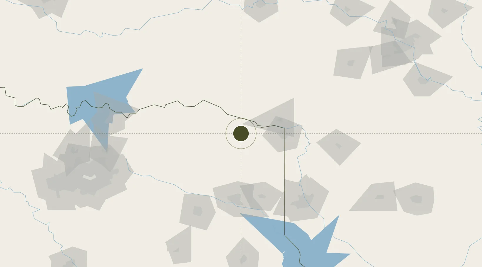
33.4762°, -94.6752°
381.4 km
Nearest port
63.5 km
Nearest airport
Gateway access
Zone profile
Zone type
Foreign Trade Zone
Region
Texas
Status
Active
Management
Public-Private Partnership
Operator
TexAmericas Center
Legal framework
Foreign-Trade Zones Act
Location
Nearby Logistics Neighbours
Ports
- 1Beaumont381 km
- 2Lake Charles387 km
- 3Orange388 km
- 4Port Neches393 km
- 5Port Arthur411 km
Airports
- 1Texarkana Regional Airport (Webb Field)64 km
- 2Cox Field74 km
- 3East Texas Regional Airport122 km
- 4Shreveport Regional Airport139 km
- 5Tyler Pounds Regional Airport142 km
Cities
- 1De Kalb8 km
- 2Hooks36 km
- 3Panhandle, Cass42 km
- 4Mount Pleasant44 km
- 5Idabel47 km
Trade Zones
- 1FTZ No. 234 Gregg County110 km
- 2FTZ No. 145 Shreveport131 km
- 3FTZ No. 146 Lawrence County131 km
- 4FTZ No. 227 Durant169 km
- 5FTZ No. 269 Athens182 km
DatabookThe Record of Consolidated Knowledge
United States beyond logistics?