Foreign Trade Zone · United States

FTZ No. 168 Dallas Fort Worth Inactive
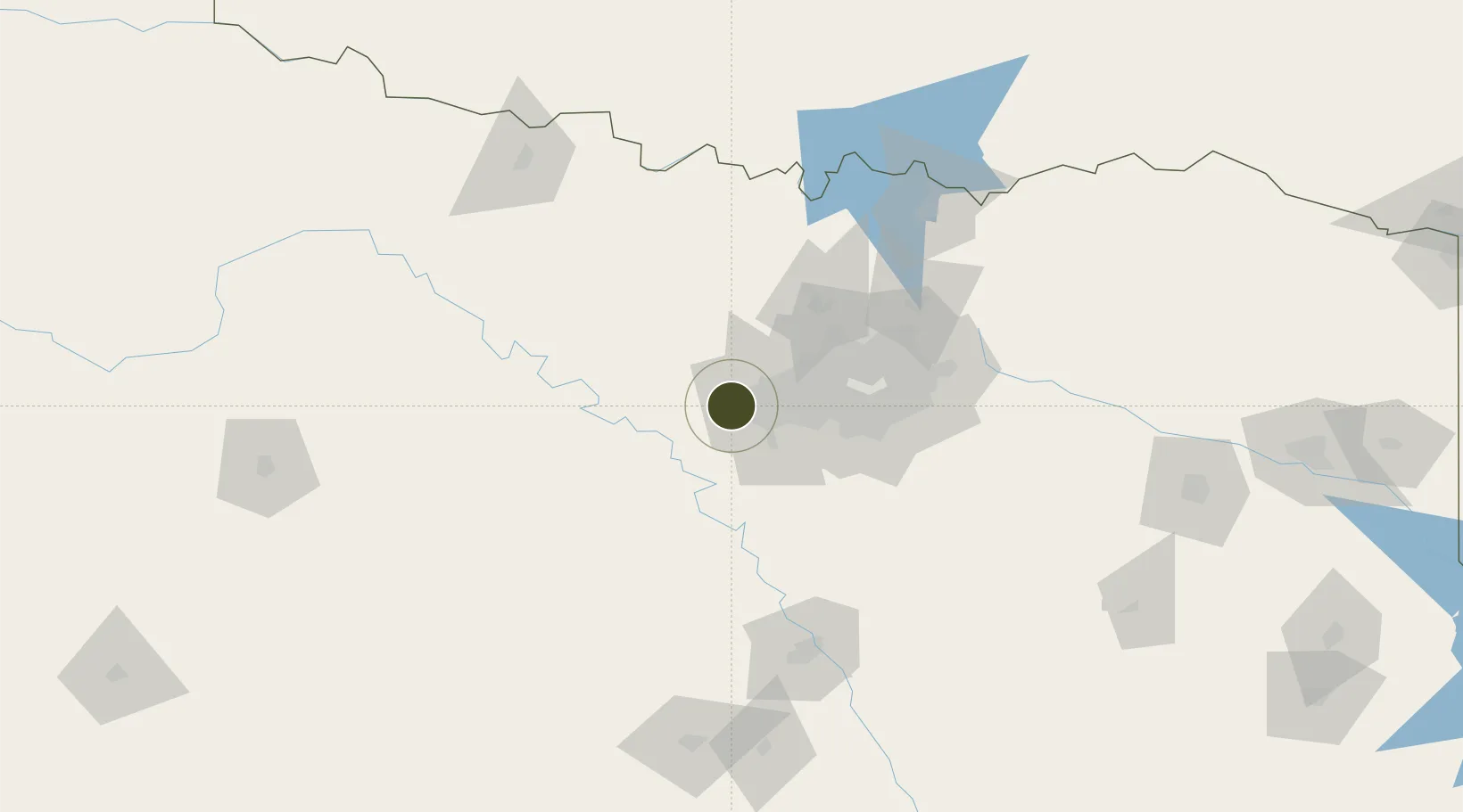
32.7418°, -97.5240°
392.5 km
Nearest port
8.3 km
Nearest airport

Gateway access

Nearest neighbours — logibook spatial index (haversine) over the source coordinates

Zone profile

Zone type
Foreign Trade Zone
Open Zone Map
Region
Texas
Open Zone Map
Status
Inactive
Open Zone Map
Management
Public-Private Partnership
Open Zone Map
Operator
Metroplex International Trade Development Corporation
Open Zone Map
Legal framework
Foreign-Trade Zones Act
Open Zone Map

Location

Location of ozm-4954
Natural Earth 10m (public domain) · Texas · ozm-4954 · 32.74, -97.52GoogleOSMYandex

Nearby Logistics Neighbours

Ports
  1. 1Deer Park393 km
  2. 2Houston395 km
  3. 3Pasadena402 km
  4. 4Baytown411 km
  5. 5Beaumont440 km
Nearest neighbours — logibook spatial index (haversine) over the source coordinates
Airports
  1. 1NAS Fort Worth JRB / Carswell Field8 km
  2. 2Fort Worth Meacham International Airport18 km
  3. 3Perot Field/Fort Worth Alliance Airport34 km
  4. 4Dallas Fort Worth International Airport49 km
  5. 5Mineral Wells Regional Airport50 km
Nearest neighbours — logibook spatial index (haversine) over the source coordinates
Cities
  1. 1Aledo9 km
  2. 2Willow Park12 km
  3. 3Azle16 km
  4. 4Fort Worth25 km
  5. 5Cresson27 km
Nearest neighbours — logibook spatial index (haversine) over the source coordinates
Trade Zones
  1. 1FTZ No. 196 Fort Worth8 km
  2. 2FTZ No. 039 Dallas Fort Worth52 km
  3. 3FTZ No. 113 Ellis County68 km
  4. 4FTZ No. 246 Waco135 km
  5. 5FTZ No. 269 Athens165 km
Nearest neighbours — logibook spatial index (haversine) over the source coordinates
DatabookThe Record of Consolidated Knowledge
United States beyond logistics?
Browse databook

All Sources

Trade ZonesOpen Zone Map
CC BY
Portsthe NGA World Port Index
Public domain (US gov)
AirportsOurAirports
Public domain
LocationsUN/LOCODE
UN/LOCODE — free
← United States trade zones