Medium airport · United States
Durant Regional Airport - Eaker FieldKDUA
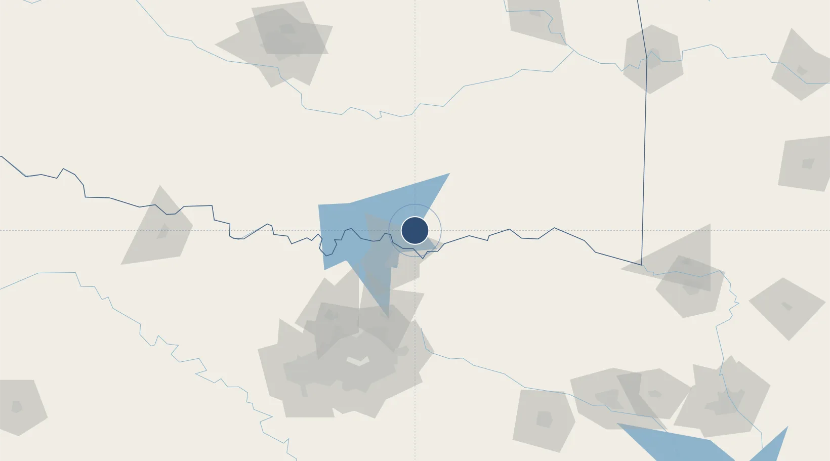
33.9397°, -96.3951°
6,800 ft
Longest runway
1
Runways
699 ft
Elevation
Runway & Layout

Radio Frequencies
AWOS
124.175 MHz
AWOS 3
CNTR
124.75 MHz
FORT WORTH CNTR
UNIC
122.8 MHz
CTAF/UNICOM
Runways · 1
| Runway | Dimensions | Surface | True heading | Lit |
|---|---|---|---|---|
| 17/35 | 6,800 × 100ft | Asphalt | 180° | ✓ |
Airport Specifications
IATA code
DUA
ICAO code
KDUA
Airport class
Medium airport
Scheduled service
No
Runway surface
Asphalt
Served city
Durant
Location
Nearby Logistics Neighbours
Airports
- 1North Texas Regional Airport Perrin Field36 km
- 2Cox Field94 km
- 3Ada Regional Airport100 km
- 4Mc Alester Regional Airport119 km
- 5Dallas Love Field129 km
Cities
- 1Milburn35 km
- 2Coleman36 km
- 3Savoy40 km
- 4Tishomingo44 km
- 5Burnett55 km
Trade Zones
- 1FTZ No. 227 Durant7 km
- 2FTZ No. 196 Fort Worth167 km
- 3FTZ No. 258 Bowie County167 km
- 4FTZ No. 168 Dallas Fort Worth170 km
- 5FTZ No. 113 Ellis County191 km
DatabookThe Record of Consolidated Knowledge
United States beyond logistics?