UN/LOCODE hub · United States
USWH8
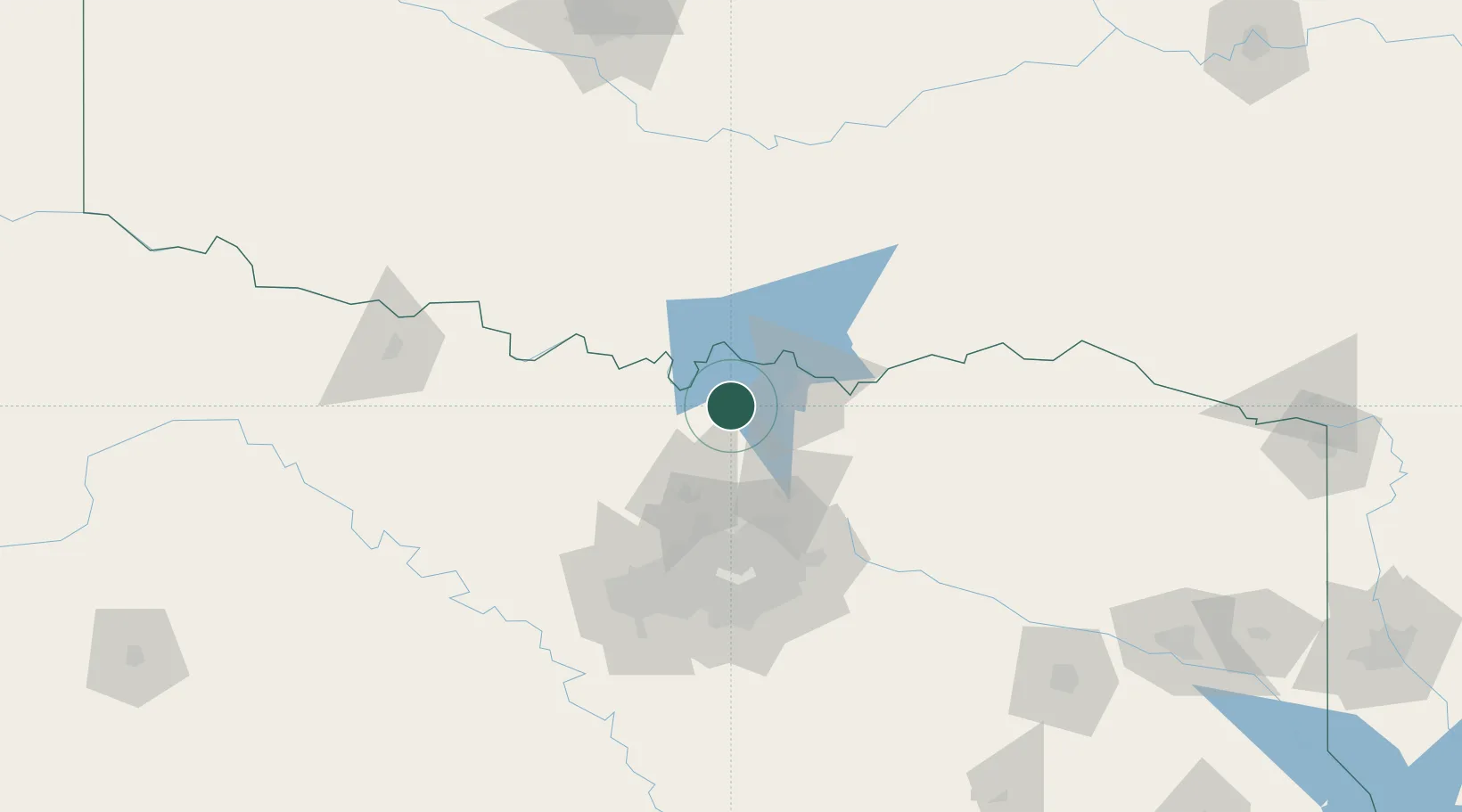
Whitesboro
33.6500°, -96.9000°
3,909
Population
1
Transport functions
Transport Functions
Multimodal
Hub Profile
Place type
Populated place
Region
Texas
Population
3,909
Time zone
America/Chicago
Elevation
250 m
Location
Nearby Logistics Neighbours
Cities
- 1Tioga20 km
- 2Thackerville26 km
- 3Sanger40 km
- 4Van Alstyne40 km
- 5Muenster43 km
Airports
Trade Zones
- 1FTZ No. 227 Durant61 km
- 2FTZ No. 196 Fort Worth113 km
- 3FTZ No. 168 Dallas Fort Worth117 km
- 4FTZ No. 039 Dallas Fort Worth150 km
- 5FTZ No. 113 Ellis County150 km
DatabookThe Record of Consolidated Knowledge
United States beyond logistics?