Foreign Trade Zone · United States

FTZ No. 227 Durant Active
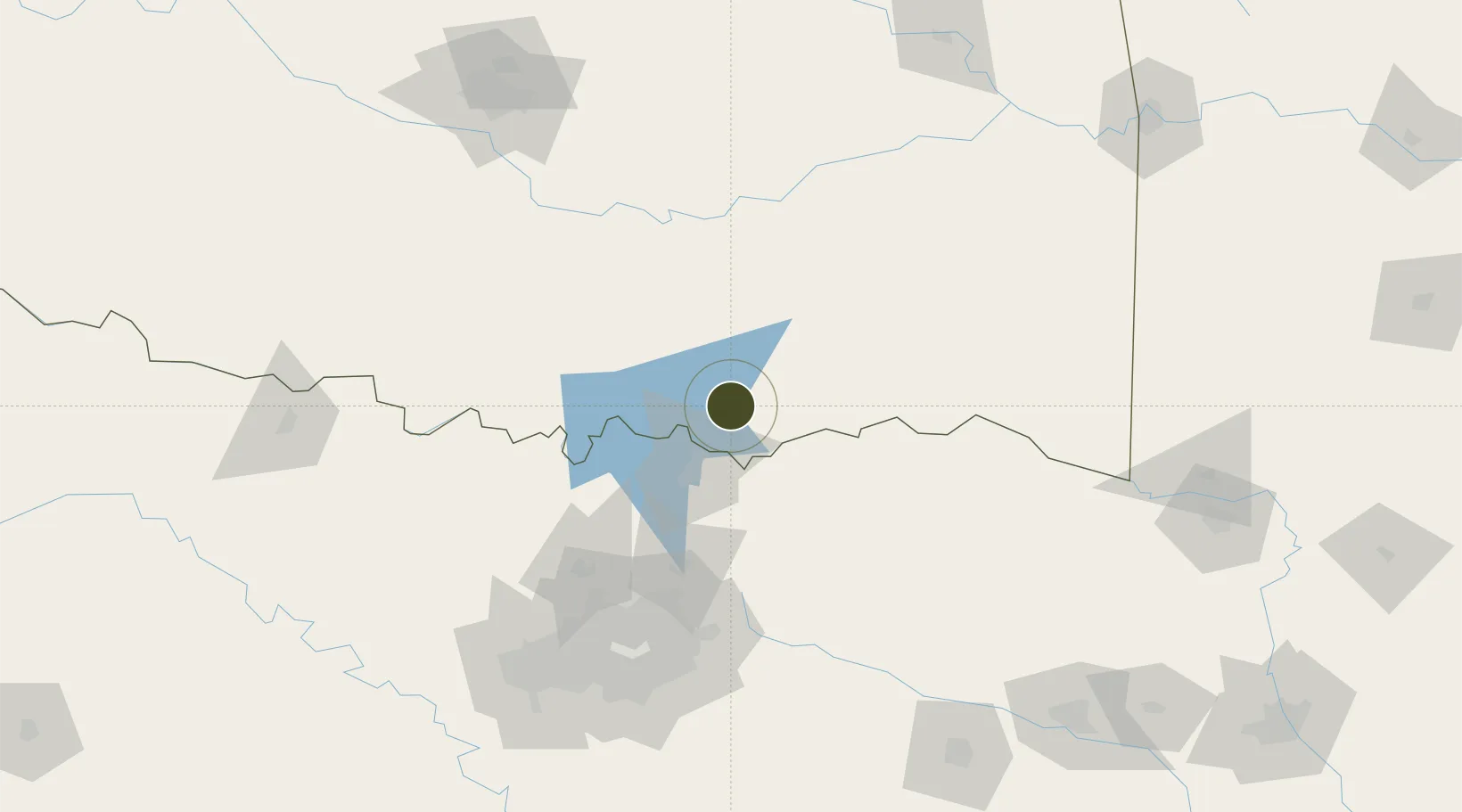
34.0054°, -96.3933°
483.6 km
Nearest port
7.3 km
Nearest airport

Gateway access

Nearest neighbours — logibook spatial index (haversine) over the source coordinates

Zone profile

Zone type
Foreign Trade Zone
Open Zone Map
Region
Oklahoma
Open Zone Map
Status
Active
Open Zone Map
Management
Public-Private Partnership
Open Zone Map
Operator
Rural Enterprises of Oklahoma, Inc.
Open Zone Map
Legal framework
Foreign-Trade Zones Act
Open Zone Map

Location

Location of ozm-4944
Natural Earth 10m (public domain) · Oklahoma · ozm-4944 · 34.01, -96.39GoogleOSMYandex

Nearby Logistics Neighbours

Ports
  1. 1Deer Park484 km
  2. 2Houston485 km
  3. 3Beaumont487 km
  4. 4Pasadena490 km
  5. 5Baytown493 km
Nearest neighbours — logibook spatial index (haversine) over the source coordinates
Airports
  1. 1Durant Regional Airport - Eaker Field7 km
  2. 2North Texas Regional Airport Perrin Field42 km
  3. 3Ada Regional Airport93 km
  4. 4Cox Field96 km
  5. 5Mc Alester Regional Airport112 km
Nearest neighbours — logibook spatial index (haversine) over the source coordinates
Cities
  1. 1Milburn28 km
  2. 2Coleman29 km
  3. 3Tishomingo38 km
  4. 4Savoy47 km
  5. 5Atoka49 km
Nearest neighbours — logibook spatial index (haversine) over the source coordinates
Trade Zones
  1. 1FTZ No. 258 Bowie County169 km
  2. 2FTZ No. 196 Fort Worth173 km
  3. 3FTZ No. 168 Dallas Fort Worth175 km
  4. 4FTZ No. 106 Oklahoma City193 km
  5. 5FTZ No. 113 Ellis County198 km
Nearest neighbours — logibook spatial index (haversine) over the source coordinates
DatabookThe Record of Consolidated Knowledge
United States beyond logistics?
Browse databook

All Sources

Trade ZonesOpen Zone Map
CC BY
Portsthe NGA World Port Index
Public domain (US gov)
AirportsOurAirports
Public domain
LocationsUN/LOCODE
UN/LOCODE — free
← United States trade zones