UN/LOCODE hub · United States
USVLS
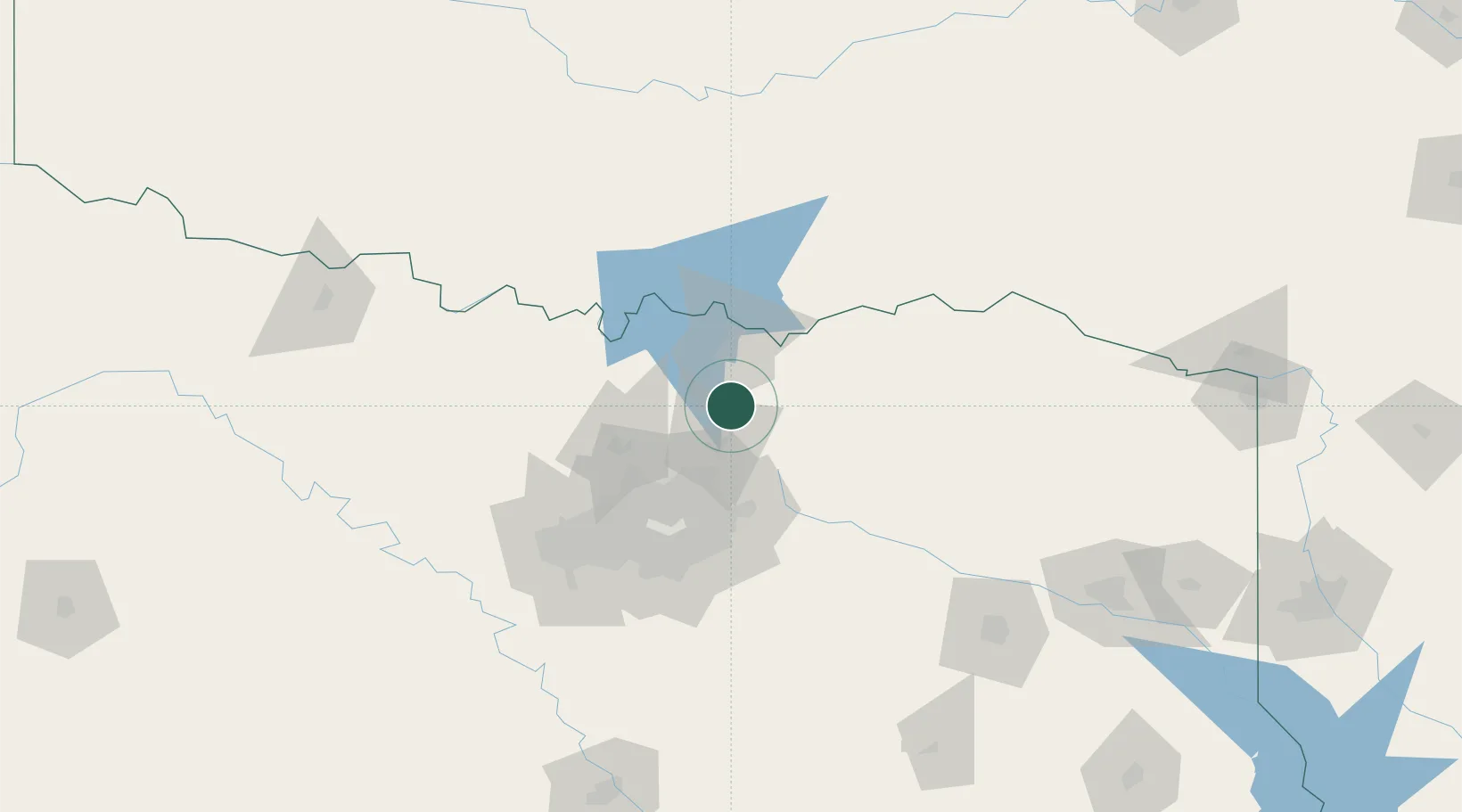
Van Alstyne
33.4167°, -96.5667°
3,344
Population
4
Transport functions
Transport Functions
Port
Rail
Road
Multimodal
Hub Profile
Place type
Populated place
Region
Texas
Population
3,344
Time zone
America/Chicago
Elevation
239 m
Location
Nearby Logistics Neighbours
Airports
Trade Zones
- 1FTZ No. 227 Durant67 km
- 2FTZ No. 196 Fort Worth116 km
- 3FTZ No. 168 Dallas Fort Worth117 km
- 4FTZ No. 113 Ellis County131 km
- 5FTZ No. 269 Athens150 km
DatabookThe Record of Consolidated Knowledge
United States beyond logistics?