Medium airport · United States
Cox FieldKPRX
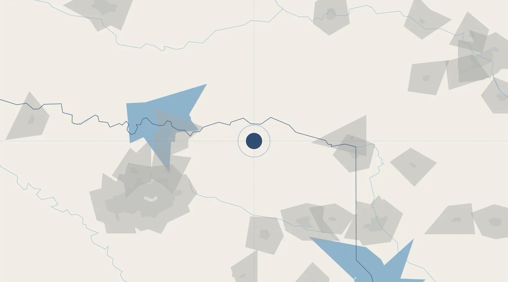
33.6366°, -95.4508°
6,002 ft
Longest runway
3
Runways
547 ft
Elevation
Runway & Layout

Radio Frequencies
AWOS
119.675 MHz
AWOS 3
CNTR
123.925 MHz
FORT WORTH CNTR
RDO
122.25 MHz
FORT WORTH RDO
UNIC
122.975 MHz
CTAF/UNICOM
Navaids
PRX VOR-DME Paris 113.60 MHz
Runways · 3
| Runway | Dimensions | Surface | True heading | Lit |
|---|---|---|---|---|
| 17/35 | 6,002 × 100ft | Asphalt | 179° | ✓ |
| 03/21 | 4,624 × 150ft | Concrete | 037° | — |
| 14/32 | 4,624 × 150ft | Concrete | 141° | — |
Airport Specifications
IATA code
PRX
ICAO code
KPRX
Airport class
Medium airport
Scheduled service
No
Runway surface
Asphalt
Served city
Paris
Location
Nearby Logistics Neighbours
Airports
Cities
- 1Detroit19 km
- 2Powderly19 km
- 3Deport19 km
- 4Sumner23 km
- 5Arthur City26 km
Ports
- 1Beaumont416 km
- 2Orange427 km
- 3Port Neches429 km
- 4Deer Park432 km
- 5Houston433 km
Trade Zones
- 1FTZ No. 258 Bowie County74 km
- 2FTZ No. 227 Durant96 km
- 3FTZ No. 234 Gregg County134 km
- 4FTZ No. 269 Athens165 km
- 5FTZ No. 145 Shreveport191 km
DatabookThe Record of Consolidated Knowledge
United States beyond logistics?