Transport Functions
Rail
Road
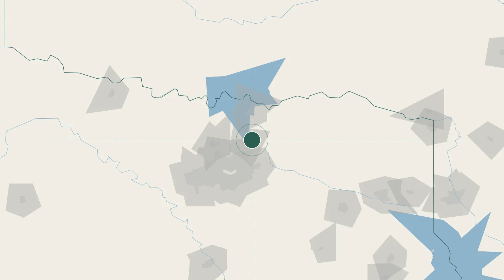
Hub Profile
Place type
Populated place
Region
Texas
Population
7,436
Time zone
America/Chicago
Elevation
207 m
Location
Nearby Logistics Neighbours
Cities
- 1Van Alstyne15 km
- 2Allen22 km
- 3Prosper22 km
- 4Farmersville25 km
- 5Frisco28 km
Airports
Trade Zones
- 1FTZ No. 227 Durant82 km
- 2FTZ No. 168 Dallas Fort Worth108 km
- 3FTZ No. 196 Fort Worth108 km
- 4FTZ No. 113 Ellis County117 km
- 5FTZ No. 269 Athens137 km
DatabookThe Record of Consolidated Knowledge
United States beyond logistics?