Large airport · United States
Dallas Fort Worth International AirportKDFW
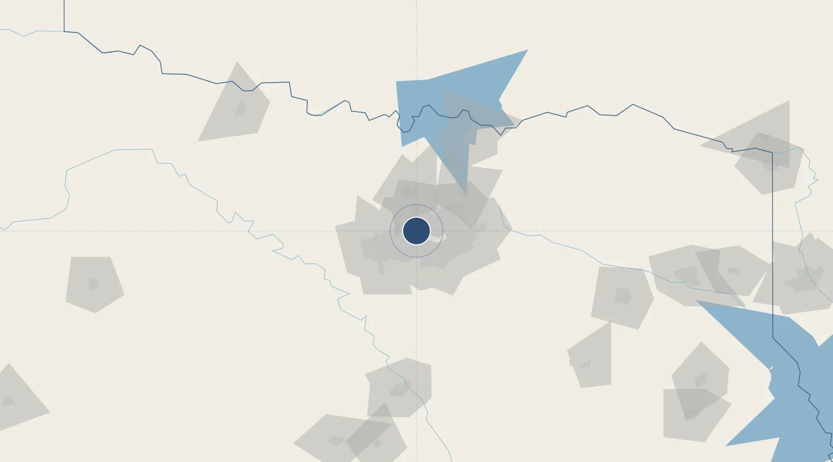
32.8968°, -97.0380°
13,401 ft
Longest runway
7
Runways
607 ft
Elevation
Runway & Layout

Radio Frequencies
ATIS
123.775 MHz
TWR
124.15 MHz
RGNL TWR
GND
121.65 MHz
RGNL GND
CLD
128.25 MHz
CLNC DEL
APP
28.465 MHz
RGNL APP
APP
119.875 MHz
RGNL APP
DEP
31.985 MHz
RGNL DEP
DEP
118.55 MHz
RGNL DEP
UNIC
122.95 MHz
UNICOM
Navaids
FL NDB Jiffy 219 kHz
Runways · 7
| Runway | Dimensions | Surface | True heading | Lit |
|---|---|---|---|---|
| 18L/36R | 13,401 × 200ft | Concrete | 180° | ✓ |
| 17C/35C | 13,400 × 150ft | Concrete | 180° | ✓ |
| 17R/35L | 13,400 × 200ft | Concrete | 180° | ✓ |
| 18R/36L | 13,400 × 150ft | Concrete | 180° | ✓ |
| 13R/31L | 9,300 × 150ft | Concrete | 139° | ✓ |
| 13L/31R | 9,000 × 200ft | Concrete | 135° | ✓ |
| 17L/35R | 8,500 × 150ft | Concrete | 180° | ✓ |
Airport Specifications
IATA code
DFW
ICAO code
KDFW
Airport class
Large airport
Scheduled service
Yes
Runway surface
Concrete
Served city
Dallas-Fort Worth
Location
Nearby Logistics Neighbours
Airports
Cities
- 1Grapevine5 km
- 2Flower Mound10 km
- 3Colleyville11 km
- 4Highland, Dallas12 km
- 5Westlake18 km
Trade Zones
- 1FTZ No. 168 Dallas Fort Worth49 km
- 2FTZ No. 196 Fort Worth51 km
- 3FTZ No. 113 Ellis County66 km
- 4FTZ No. 039 Dallas Fort Worth99 km
- 5FTZ No. 269 Athens133 km
DatabookThe Record of Consolidated Knowledge
United States beyond logistics?