Large airport · United States

Dallas Love FieldKDAL
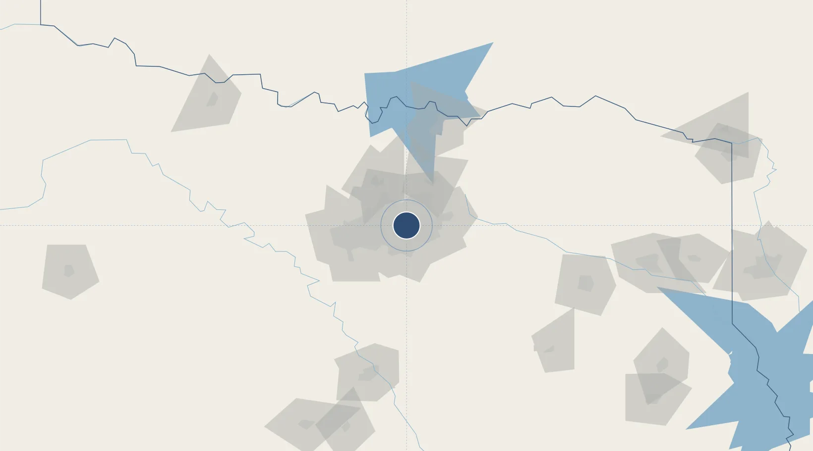
32.8448°, -96.8477°
8,800 ft
Longest runway
2
Runways
487 ft
Elevation

Runway & Layout

Dallas Love Field runway & taxiway layout
Runway & taxiway layout — OpenStreetMap (ODbL) / OurAirports

Radio Frequencies

ATIS
120.15 MHz
TWR
118.7 MHz
LOVE TWR
GND
121.75 MHz
CLD
127.9 MHz
CLNC DEL
APP
124.3 MHz
RGNL APP
DEP
118.55 MHz
RGNL DEP
RDO
122.3 MHz
FORT WORTH RDO
UNIC
122.95 MHz
UNICOM
OurAirports

Navaids

LV NDB Conis 275 kHz
OurAirports

Runways · 2

RunwayDimensions SurfaceTrue headingLit
13R/31L 8,800 × 150ft Concrete 136°
13L/31R 7,752 × 150ft Concrete 136°
OurAirports

Airport Specifications

IATA code
DAL
OurAirports
ICAO code
KDAL
OurAirports
Airport class
Large airport
OurAirports
Scheduled service
Yes
OurAirports
Runway surface
Concrete
OurAirports
Served city
Dallas
OurAirports

Location

Location of KDAL
Natural Earth 10m (public domain) · Texas · KDAL · 32.84, -96.85GoogleOSMYandex

Nearby Logistics Neighbours

Airports
  1. 1Dallas Fort Worth International Airport19 km
  2. 2Mid-Way Regional Airport43 km
  3. 3Perot Field/Fort Worth Alliance Airport47 km
  4. 4Fort Worth Meacham International Airport48 km
  5. 5NAS Fort Worth JRB / Carswell Field56 km
Nearest neighbours — logibook spatial index (haversine) over the source coordinates
Cities
  1. 1University Park5 km
  2. 2Highland, Dallas7 km
  3. 3Dallas7 km
  4. 4Cockrell Hill13 km
  5. 5Duncanville20 km
Nearest neighbours — logibook spatial index (haversine) over the source coordinates
Ports
  1. 1Deer Park373 km
  2. 2Houston375 km
  3. 3Pasadena381 km
  4. 4Baytown387 km
  5. 5Beaumont404 km
Nearest neighbours — logibook spatial index (haversine) over the source coordinates
Trade Zones
  1. 1FTZ No. 113 Ellis County63 km
  2. 2FTZ No. 168 Dallas Fort Worth64 km
  3. 3FTZ No. 196 Fort Worth68 km
  4. 4FTZ No. 269 Athens115 km
  5. 5FTZ No. 039 Dallas Fort Worth116 km
Nearest neighbours — logibook spatial index (haversine) over the source coordinates
DatabookThe Record of Consolidated Knowledge
United States beyond logistics?
Browse databook

All Sources

AirportsOurAirports
Public domain
Portsthe NGA World Port Index
Public domain (US gov)
LocationsUN/LOCODE
UN/LOCODE — free
Trade Zonesthe World Bank SEZ database
CC BY 4.0
Trade ZonesOpen Zone Map
CC BY
InfrastructureOpenStreetMap
ODbL 1.0
← United States airports