Foreign Trade Zone · United States

FTZ No. 196 Fort Worth Active

32.8005°, -97.5695°
400.2 km
Nearest port
12.5 km
Nearest airport

Gateway access

Nearest neighbours — logibook spatial index (haversine) over the source coordinates

Zone profile

Zone type
Foreign Trade Zone
Open Zone Map
Region
Texas
Open Zone Map
Status
Active
Open Zone Map
Management
Public-Private Partnership
Open Zone Map
Operator
Alliance Corridor, Inc.
Open Zone Map
Legal framework
Foreign-Trade Zones Act
Open Zone Map

Location

Location of ozm-4955
Natural Earth 10m (public domain) · Texas · ozm-4955 · 32.80, -97.57GoogleOSMYandex

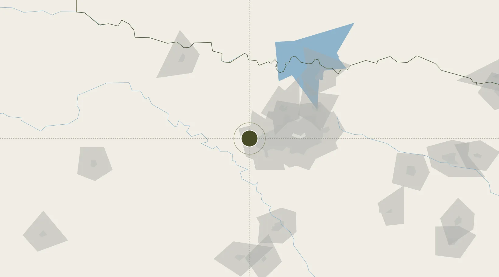
Nearby Logistics Neighbours

Ports
  1. 1Deer Park400 km
  2. 2Houston403 km
  3. 3Pasadena409 km
  4. 4Baytown419 km
  5. 5Beaumont448 km
Nearest neighbours — logibook spatial index (haversine) over the source coordinates
Airports
  1. 1NAS Fort Worth JRB / Carswell Field13 km
  2. 2Fort Worth Meacham International Airport20 km
  3. 3Perot Field/Fort Worth Alliance Airport32 km
  4. 4Mineral Wells Regional Airport46 km
  5. 5Dallas Fort Worth International Airport51 km
Nearest neighbours — logibook spatial index (haversine) over the source coordinates
Cities
  1. 1Willow Park9 km
  2. 2Azle10 km
  3. 3Aledo12 km
  4. 4Newark24 km
  5. 5Haslet25 km
Nearest neighbours — logibook spatial index (haversine) over the source coordinates
Trade Zones
  1. 1FTZ No. 168 Dallas Fort Worth8 km
  2. 2FTZ No. 039 Dallas Fort Worth49 km
  3. 3FTZ No. 113 Ellis County76 km
  4. 4FTZ No. 246 Waco142 km
  5. 5FTZ No. 269 Athens171 km
Nearest neighbours — logibook spatial index (haversine) over the source coordinates
DatabookThe Record of Consolidated Knowledge
United States beyond logistics?
Browse databook

All Sources

Trade ZonesOpen Zone Map
CC BY
Portsthe NGA World Port Index
Public domain (US gov)
AirportsOurAirports
Public domain
LocationsUN/LOCODE
UN/LOCODE — free
← United States trade zones