UN/LOCODE hub · United States
USVF3
Farmersville
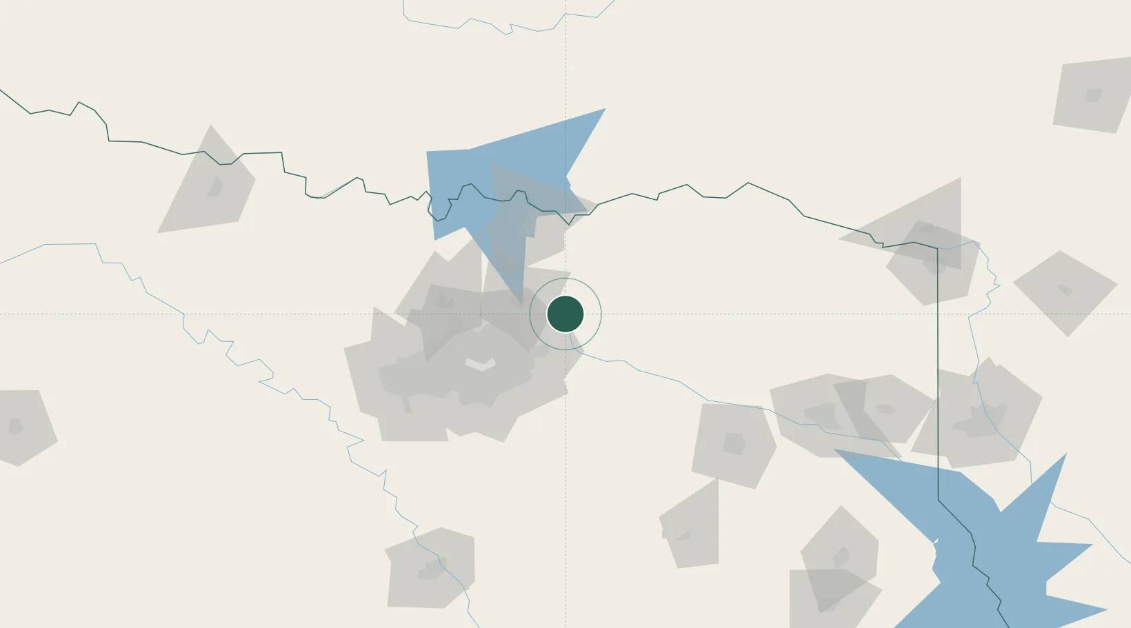
33.1500°, -96.3500°
3,447
Population
1
Transport functions
Transport Functions
Multimodal
Hub Profile
Place type
Populated place
Region
Texas
Population
3,447
Time zone
America/Chicago
Elevation
199 m
Location
Nearby Logistics Neighbours
Cities
- 1Fate24 km
- 2Melissa25 km
- 3Blackland, Rockwell28 km
- 4Sachse30 km
- 5Allen32 km
Airports
Trade Zones
- 1FTZ No. 227 Durant95 km
- 2FTZ No. 113 Ellis County113 km
- 3FTZ No. 269 Athens115 km
- 4FTZ No. 168 Dallas Fort Worth119 km
- 5FTZ No. 196 Fort Worth120 km
DatabookThe Record of Consolidated Knowledge
United States beyond logistics?