Transport Functions
Road
Multimodal
Hub Profile
Region
VA
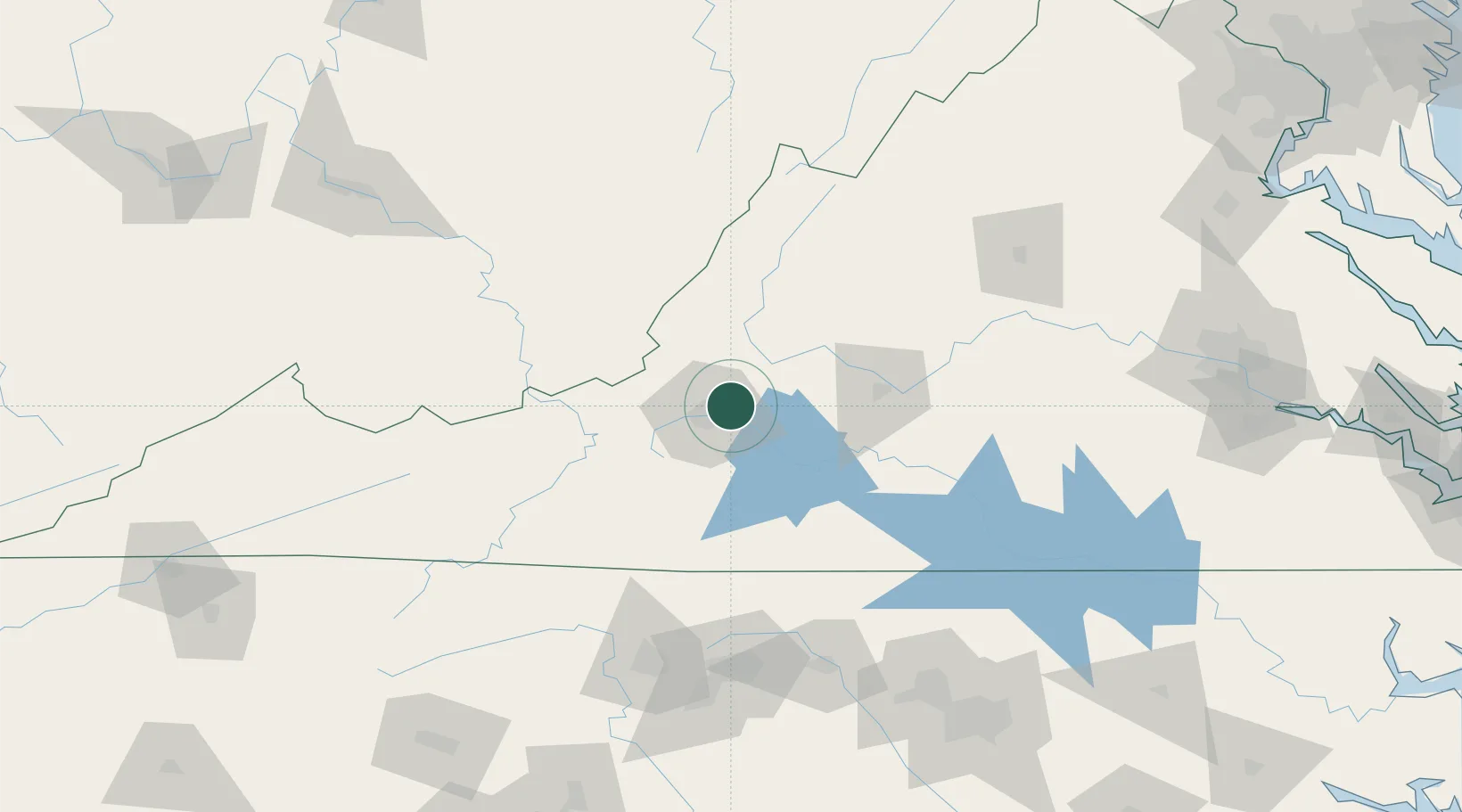
Location
Nearby Logistics Neighbours
Cities
- 1Daleville8 km
- 2Spring Grove8 km
- 3Buchanan28 km
- 4Moneta29 km
- 5Eagle Rock, Botetourt34 km
Ports
- 1Richmond219 km
- 2Fredericksburg239 km
- 3West Point273 km
- 4Alexandria298 km
- 5Yorktown300 km
Airports
Trade Zones
- 1FTZ No. 238 Dublin77 km
- 2FTZ No. 230 Piedmont Triad Area129 km
- 3FTZ No. 093 Raleigh Durham181 km
- 4FTZ No. 229 Charleston196 km
- 5FTZ No. 185 Culpeper County206 km
DatabookThe Record of Consolidated Knowledge
United States beyond logistics?