Transport Functions
Rail
Road
Hub Profile
Place type
Populated place
Region
Virginia
Time zone
America/New_York
Elevation
262 m
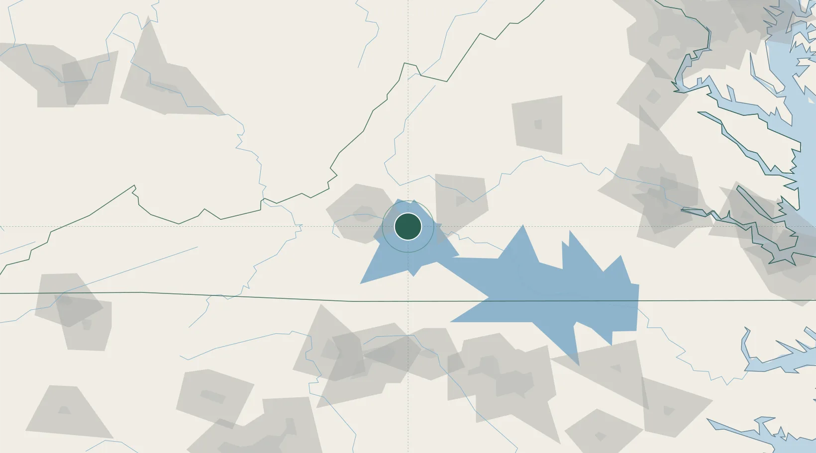
Location
Nearby Logistics Neighbours
Cities
- 1Spring Grove23 km
- 2Botetourt29 km
- 3Daleville36 km
- 4Forest36 km
- 5Buchanan37 km
Ports
- 1Richmond198 km
- 2Fredericksburg227 km
- 3West Point252 km
- 4Yorktown276 km
- 5Newport News283 km
Airports
Trade Zones
- 1FTZ No. 238 Dublin97 km
- 2FTZ No. 230 Piedmont Triad Area120 km
- 3FTZ No. 093 Raleigh Durham156 km
- 4FTZ No. 207 Richmond185 km
- 5FTZ No. 185 Culpeper County200 km
DatabookThe Record of Consolidated Knowledge
United States beyond logistics?