Transport Functions
Rail
Road
Hub Profile
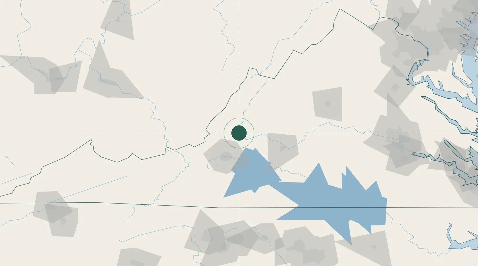
Region
VA
Location
Nearby Logistics Neighbours
Ports
- 1Richmond210 km
- 2Fredericksburg219 km
- 3West Point265 km
- 4Alexandria274 km
- 5Washington D.C.278 km
Airports
Trade Zones
- 1FTZ No. 238 Dublin99 km
- 2FTZ No. 230 Piedmont Triad Area164 km
- 3FTZ No. 185 Culpeper County180 km
- 4FTZ No. 229 Charleston185 km
- 5FTZ No. 207 Richmond198 km
DatabookThe Record of Consolidated Knowledge
United States beyond logistics?