Medium airport · United States
Roanoke–Blacksburg Regional AirportKROA
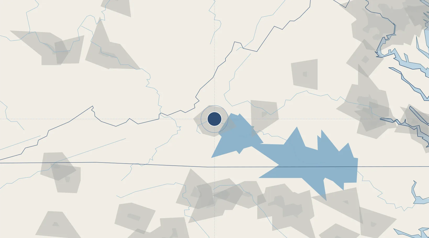
37.3255°, -79.9754°
6,800 ft
Longest runway
2
Runways
1,175 ft
Elevation
Runway & Layout

Radio Frequencies
ATIS
134.95 MHz
TWR
118.3 MHz
GND
121.9 MHz
CLD
119.7 MHz
CLNC DEL
A/D
118.15 MHz
APP/DEP
RDO
122.2 MHz
LEESBURG RDO
UNIC
122.95 MHz
UNICOM
Navaids
CNQ NDB Callahan 379 kHz
ODR VOR Woodrum 114.90 MHz
ROA VORTAC Roanoke 109.40 MHz
VIT NDB Vinton 277 kHz
Runways · 2
| Runway | Dimensions | Surface | True heading | Lit |
|---|---|---|---|---|
| 06/24 | 6,800 × 150ft | ASPH-G | 050° | ✓ |
| 16/34 | 5,810 × 150ft | ASPH-G | 148° | ✓ |
Airport Specifications
IATA code
ROA
ICAO code
KROA
Airport class
Medium airport
Scheduled service
Yes
Runway surface
ASPH-G
Served city
Roanoke
Location
Nearby Logistics Neighbours
Airports
Cities
- 1Botetourt8 km
- 2Daleville10 km
- 3Spring Grove13 km
- 4Renick34 km
- 5Buchanan35 km
Ports
- 1Richmond227 km
- 2Fredericksburg247 km
- 3West Point281 km
- 4Alexandria305 km
- 5Yorktown308 km
Trade Zones
- 1FTZ No. 238 Dublin69 km
- 2FTZ No. 230 Piedmont Triad Area127 km
- 3FTZ No. 093 Raleigh Durham185 km
- 4FTZ No. 229 Charleston190 km
- 5FTZ No. 185 Culpeper County213 km
DatabookThe Record of Consolidated Knowledge
United States beyond logistics?